North River Road and Algonac State Park
North of the City of Algonac along North River Road and Stone Road, with Parkway Drive, Jankow Road and the Hemenger courts, bordered by Algonac State Park. About 290 homes, nearly all detached. Owner values near $272,900 with a wide margin near $64,000, typical home from 1962. Algonac 48001 addresses throughout.
Pearl Beach Boulevard and Phelps Road
Around Algonac High School and the township's Fire Station No. 1, with boating names such as Windjammer, Starboard and Portside courts off Pearl Beach Boulevard and Seaway Drive, plus the Channel View manufactured home community. About 395 homes, roughly 225 detached houses and about 130 manufactured homes. Owner values near $187,300 with a margin near $36,000, typical home from 1984.
Township Hall, Stone Road and Lakepointe
The middle of the mainland, from the Township Hall at 4710 Pointe Tremble Road north along Stone Road past the Kroger, with Lakepointe Boulevard, Island Drive, Taft Road and the Algonac and Thornhollow manufactured home communities. The most residents of any block group. About 825 homes, about 750 detached and about 75 manufactured. Owner values near $210,100 with a margin near $40,000, typical home from 1980.
Holland Road and the St. John's Marsh edge
Inland toward the north line, along Holland, Swartout, Macomb, Genaw and McKinley roads, with St. John's Marsh State Wildlife Area to the west. About 310 homes, nearly all detached houses. Owner values near $281,700 with a margin near $41,000, typical home from 1972. Algonac 48001 addresses.
Perch Point and Anchor Bay Drive
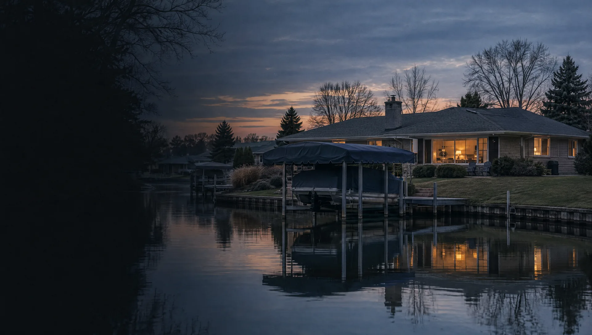
The west shore facing Anchor Bay, along Anchor Bay Drive and Dyke Road, with the canal lots of Perch Point, Balfour's Marina and the Decker's Landing boating access site. About 480 homes, nearly all detached. Owner values near $350,000 with a margin near $59,000, and a typical home from 1991, the newest of any block group here.
Pointe aux Tremble and the canal streets
Along Pointe Tremble Road west of the Township Hall, where canals run behind Bluebill, Cardinal, Flamingo, Audubon and Aqua Isle and along St. John Drive, out to Sassy Marina and the Ferry Dock Road landing for Harsens Island. About 1,150 homes, the most of any block group, about nine in ten detached. Owner values near $368,900 with a tight margin near $16,000, typical home from 1974.
Harsens Island north and the Middle Channel
The north and west of Harsens Island, from the ferry landing along North Channel Drive past the Middle Channel Golf and Country Club to the St. Clair Flats State Wildlife Area, with lanes called highways, such as Bates, Martz and Boydell. About 1,135 homes, nearly all detached, roughly six in ten held for seasonal use in the survey. Owner values near $426,800 with a wide margin near $97,000, typical home from 1961. About 990 homes have Harsens Island 48028 addresses and about 160 carry Algonac 48001.
Sans Souci, Grande Pointe and Russell Island
The south and east of Harsens Island, around the Sans Souci shops, post office and island fire station near the South Channel, with Grande Pointe and Maple Leaf, plus Russell Island off Algonac, reached by boat from the city. About 590 homes, nearly all detached, close to half held for seasonal use. Owner values near $294,900 with a wide margin near $92,000, typical home from 1966. About 450 homes have Harsens Island 48028 addresses, and Russell Island's roughly 125 use Algonac 48001.