Horse Island and Island Drive
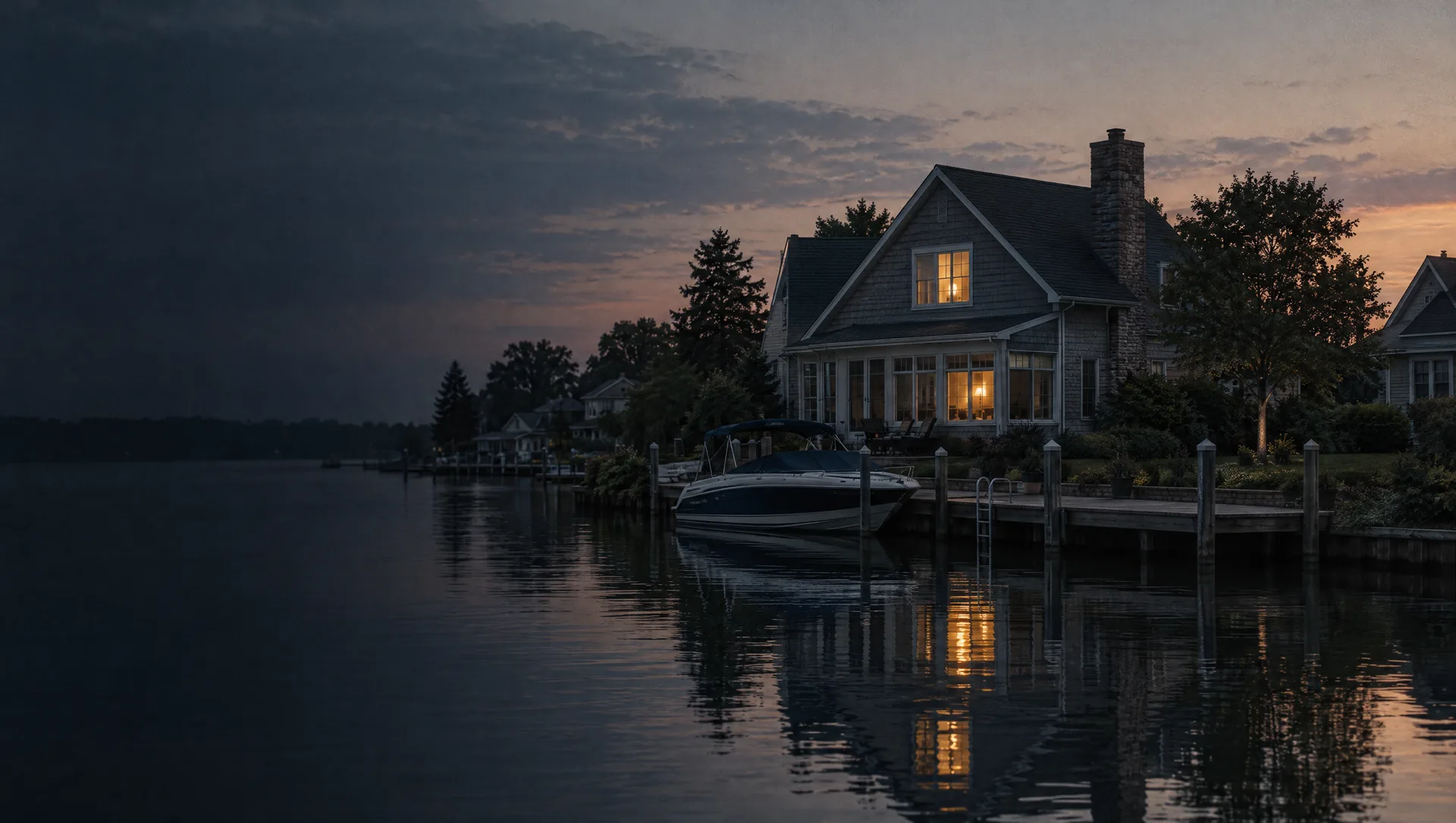
The island off the south end of Adams Drive, reached only over the Horse Island Bridge, a single-span concrete arch built in 1925 that the city calls the sole vehicular link to the mainland. Island Drive carries its houses. The assessor's 2026 sales list shows seven house sales there from April 2023 through December 2025, from $350,000 to $600,000, with a median of $440,000, and four of the seven homes were built before 1945. Both Island Drive addresses we checked sit in FEMA's high-risk coastal zone, and the city plans its Island Drive service line work around a water main project now expected in 2028.
Adams Drive and Bayview Drive on south Main Island
The south end of Main Island, where Adams Drive runs down to the Horse Island bridge and Bayview Drive follows the island's west side. The assessor's 2026 land study values waterfront lots on these streets and Island Drive at about $2,148 a front foot, against about $865 on the city's inland lots. Fourteen house sales from 2023 to 2025 ran from $163,345 to $594,900, median $336,500, most of them homes built between 1937 and 1965. Its Census block group puts owner values near $211,600 and the typical build year at 1958, both with wide margins, and nearly every home there is detached. Three of the four addresses we checked here fall in FEMA's high-risk zone.
Rose, Gerald, Ivy and Stork streets
The short cross streets between Bayview and Adams drives in the middle and south of Main Island: Rose, Gerald, Delavern, Ivy, Leslie, Neely and Stork. Mostly ranches on lots of about a tenth to a quarter acre. Twenty-four sales on these streets and the inland stretches of Bayview and Adams ran from $140,000 to $330,000 from 2023 to 2025, median $207,500, with a typical build year of 1961. A few lots carry new houses, a 2021 ranch on Neely Street and a 2023 ranch on Gerald Street among them. Our check put 13392 Gerald Street outside FEMA's high-risk zone and 13430 Stork Street inside it, so the flood answer can change from one street to the next.
Munro Street, City Hall and the downtown corner
The north end of Main Island around City Hall at 29450 Munro, and the corner where North, Middle and South Gibraltar roads meet, which the city's master plan treats as its downtown, with Springstead and Denison streets just to the west. Lots are small, many near a tenth of an acre. Eleven sales from 2023 to 2025 ran from $100,000 to $392,000, median $210,000, from a 1920 duplex on Adams Drive to houses built in 1997, 2004 and 2015, and Redfin shows 29255 Adams Drive selling for $290,000 in August 2026. Hy Dahlka Park and the community center at 29340 South Gibraltar Road are close by.
Hall Island: Pointe Drive and East Pointe Drive
The small island west of Main Island, looped by Pointe Drive and East Pointe Drive. Ten house sales from 2023 to 2025 ran from $165,000 to $420,000, with a median near $305,000, and most of the houses date from 1930 to 1952, with a 2000 two-story among the newer ones. Our sample of FEMA's map put under 1 in 20 points on Hall Island in the high-risk zone, far fewer than on the other three islands with homes, and the Pointe Drive address we checked was outside it. A lot that touches the canal still needs its own look before you make an offer.
Edmond Island: Triangle Drive and south Young Drive
The island southwest of Hall Island, where Triangle Drive makes its loop and Young Drive runs south across it. Seven sales from 2023 to 2025 ran from $245,000 to $649,000, median $365,000, and the $649,000 sale, a 1941 two-story on Triangle Drive in July 2024, is the highest on the city's list. Most lots here are a quarter acre or a little more, larger than on Main Island. Our FEMA sample put more than half of the island's land in the high-risk coastal zone, and the Triangle Drive address we checked was in it.
Sugar Island Court and the island-named courts
A newer subdivision north of Middle Gibraltar Road, across from Parsons Elementary, on courts named Sugar Island, Calf Island, Humbug Island and Sturgeon Bar. Most houses date from 1998 to 2003, colonials and two-stories of about 2,000 to 3,200 square feet on lots of a quarter to a third of an acre. Nine sales from 2023 to 2025 ran from $359,900 to $565,000, median $395,000. This north end of the city is the Census block group with the youngest homes, a typical year of 1995, and owner values near $320,300, with a wide margin. The Sugar Island Court address we checked sits outside FEMA's high-risk zone.
Watersway Drive and the marina district
Condominiums on Watersway Drive north of Middle Gibraltar Road, near the marinas on the north side of the city, with units from 2000 to 2004 of about 1,000 to 1,130 square feet, some with attached garages. Fifteen sales from 2023 to 2025 ran from $148,000 to $200,000, median $160,000, and Redfin shows a Watersway Drive unit selling for $222,000 in September 2026. Humbug Marina on Middle Gibraltar Road began in 1954 as Heinrich Marine, with room for about 100 boat wells once the swampy site was dredged. On a condo loan the lender looks at the association as well as the unit, so get its budget and master insurance policy in hand early.
Kingsbridge Drive and Windsor Drive
West of South Gibraltar Road toward West Jefferson Avenue, Kingsbridge Drive is one of the multiple-family concentrations the master plan names, and Windsor Drive holds a condominium from the mid-1970s. Ten Windsor Drive unit sales from 2023 to 2025 ran from $120,000 to $210,000, median $190,000, for units of about 840 to 1,150 square feet. Detached houses on Windsor Drive, James Court, Williams Court and South Gibraltar Road, built from 1970 to 1994, sold for $249,900 to $420,000, and Redfin shows $375,000 on Williams Court in August 2026. One Windsor Drive address we checked sits in FEMA's high-risk zone and another outside it.
Navarre, Stoeflet and Lisch streets
The mainland grid between South Gibraltar Road and Young Drive, with Navarre, Stoeflet, Lisch, Marr, White and Worth streets, where the master plan places much of the city's older wood-frame housing south of Navarre Street. Ranches and early 1960s bi-levels account for most of the sales. Twenty-eight sales from 2023 to 2025 ran from $148,700 to $371,000, median $224,000. The Cooke Community Center, opened in 2018 in the former St. Victor's church on Navarre Street, and Parsons Elementary are nearby. The Navarre Street addresses we checked sat outside FEMA's high-risk zone, a Young Drive address inside it.
The Meadowlands manufactured housing park
On the west edge of the city south of Gibraltar Road, by the railroad tracks and Fort Road, the Meadowlands park was begun in 2003 on 85 acres, with streets such as Meadowlark Boulevard, Hidden River Drive and Meadow Lane. The 2020 Census counted about 320 homes in the blocks it covers, and the master plan puts it near 16% of the city's housing. Homes in a park like this usually sit on rented sites, which makes them personal property bought with a chattel loan rather than a mortgage, and a home in a licensed park pays a specific tax of $3 a month through the park instead of property tax on the house itself. These homes are part of why the western Census block group shows owner values near $157,800, with a wide margin.
West Jefferson Avenue, the schools and the wetlands
West Jefferson Avenue runs through the west side of the city past Shumate Middle School and Carlson High School, which stands where the city's history page says the War of 1812 Battle of Brownstown was fought. The Gibraltar Wetlands unit of the refuge, 358.58 acres acquired in 2008, lies southwest of the corner of West Jefferson and Gibraltar Road. Homes along the avenue are scattered: a few houses on larger lots and a small condominium at 29589 West Jefferson whose units of about 600 to 790 square feet sold for $52,500 and $105,000 in 2024. Redfin shows two West Jefferson houses selling for $144,000 and $150,000 in September and October 2026.