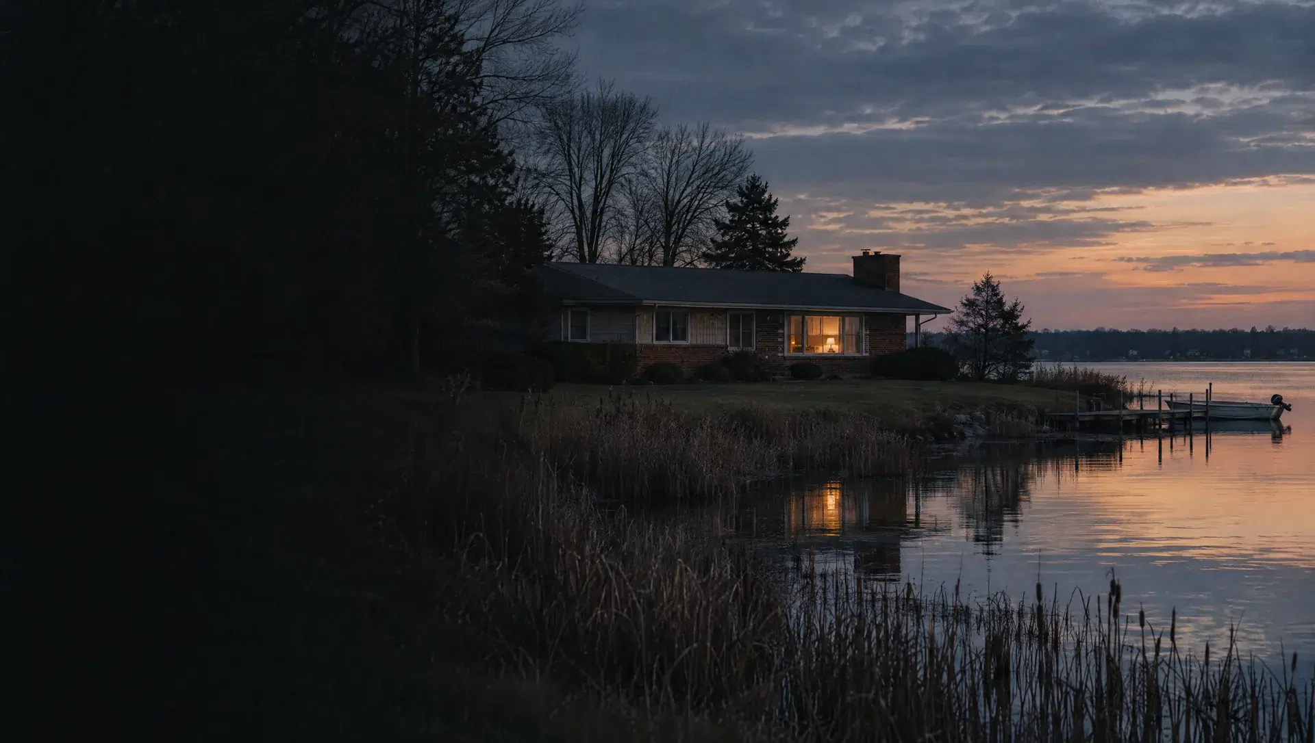
Bolles Harbor and LaPlaisance Road
The largest block group in the township, Census block group 325001, runs down toward Lake Erie and covers about 4.9 square miles of land. The American Community Survey (ACS) 2020 to 2024 puts its median owner value near $185,300 (margin of error about $25,400) and its median year built at 1986. About 1,666 of its 2,184 homes are owner occupied, and 629 are manufactured homes. OpenStreetMap places Trout's Yacht Basin and Piper Cove Marina along this stretch.
Carrington Farms and Sweet Briar
Block group 324004 covers about 2.1 square miles and carries the highest ACS median owner value of any block group listed here, near $367,300 (margin of error about $23,800), with a median year built of 1995. About 322 of its 354 homes are owner occupied and 331 are detached houses. OpenStreetMap shows the Carrington Farms and Sweet Briar subdivisions and Carrington Golf Club here. Homes at this level are the ones most likely to need a closer look at the loan limits page.
West Dunbar Road and Telegraph Road
Block group 324003, about 2.9 square miles, shows a median owner value near $315,700 (margin about $27,500) and a median year built of 2001, the newest median in this list. The ACS counts 654 owner occupied homes out of 676, and 604 of the homes are detached. Newer construction here means a different inspection list than the 1940s homes closer to the river, and often a lower maintenance estimate in the first years.
Albain Road and Custer Elementary
Block group 324002 spans about 2.6 square miles south of Dunbar Road. The ACS reports a median owner value near $305,900 with a wide margin of error of about $40,000, a median year built of 1978 and 287 owner occupied homes out of 352. Custer Elementary, a Monroe Public Schools building, sits on West Albain Road. The township's 2015 master plan describes Albain Road as the one major corridor without sewer and water service, so confirm well and septic status address by address.
South Dixie Highway apartments
Block group 324001 covers about 0.4 square miles along South Dixie Highway and holds 633 homes, of which 362 are in buildings with two or more units. The ACS shows 300 owner occupied homes, a median year built of 1974 and a median owner value near $199,300, but the margin of error is about $71,200, so treat that value as a rough marker. Condominium and multi-unit purchases here follow different lender rules than a detached house.
West Monroe and Evergreen Acres
Two small block groups, 323001 and 323005, hold manufactured homes almost entirely: the ACS counts 314 of 333 homes and 116 of 123 homes as manufactured, with a median year built of 1992 and 1993. OpenStreetMap labels the area West Monroe, and the township's 2015 master plan lists the Evergreen Acres picnic area as township property. Whether the lot is owned or leased changes the loan options, so ask early.
Waterloo Park and Custer Road
Block group 323003 covers about half a square mile and has a median year built of 1945. The ACS puts the median owner value near $159,600 (margin about $10,500), with 436 owner occupied homes out of 492, all of them detached. Waterloo Park, a 9-acre Monroe County park, and Waterloo Elementary on South Custer Road are in this part of the township.
Township Hall and Evergreen Drive
Block group 323002 is about 0.4 square miles around East Dunbar Road, where Monroe Charter Township Hall stands at 4925 East Dunbar Road. The ACS reports 167 owner occupied homes out of 261, a median year built of 1964 and a median owner value near $136,600, with a wide margin of about $33,100. The township lists Redeemer Fellowship Church at 5305 Evergreen Drive as the polling place for precincts 1 and 2 in the November 3, 2026 general election.
South Monroe Street corridor
Block group 322001 sits along South Monroe Street, with about 549 homes, 315 of them owner occupied. The ACS median owner value is near $137,400 (margin about $15,000) and the median year built is 1953. OpenStreetMap lists Kroger, CVS and Dollar General on this road, a few minutes from downtown Monroe. The block group is small enough that a street on one side may be township and the next street city.
Eastwood Drive and South Monroe Street, south side
Block group 322002 is about 0.2 square miles. The ACS shows a median owner value near $199,100 (margin about $14,800), a median year built of 1956, and 354 owner occupied homes out of 402, with 333 detached. It borders the corridor above, and its homes were mostly built in the same decade as many Monroe city homes, so the parcel record is the only reliable way to know which government taxes a given house.
Dixie Highway near the city line
Block group 320002, about 0.6 square miles, has the oldest median year built in this list, 1938. The ACS reports 201 owner occupied homes out of 381, 172 homes in multi-unit buildings and a median owner value near $157,600 (margin about $9,900). Older homes like these reward a careful inspection and an early look at the roof, wiring and foundation before an offer is final.