Church, Liberty and West Nepessing Streets
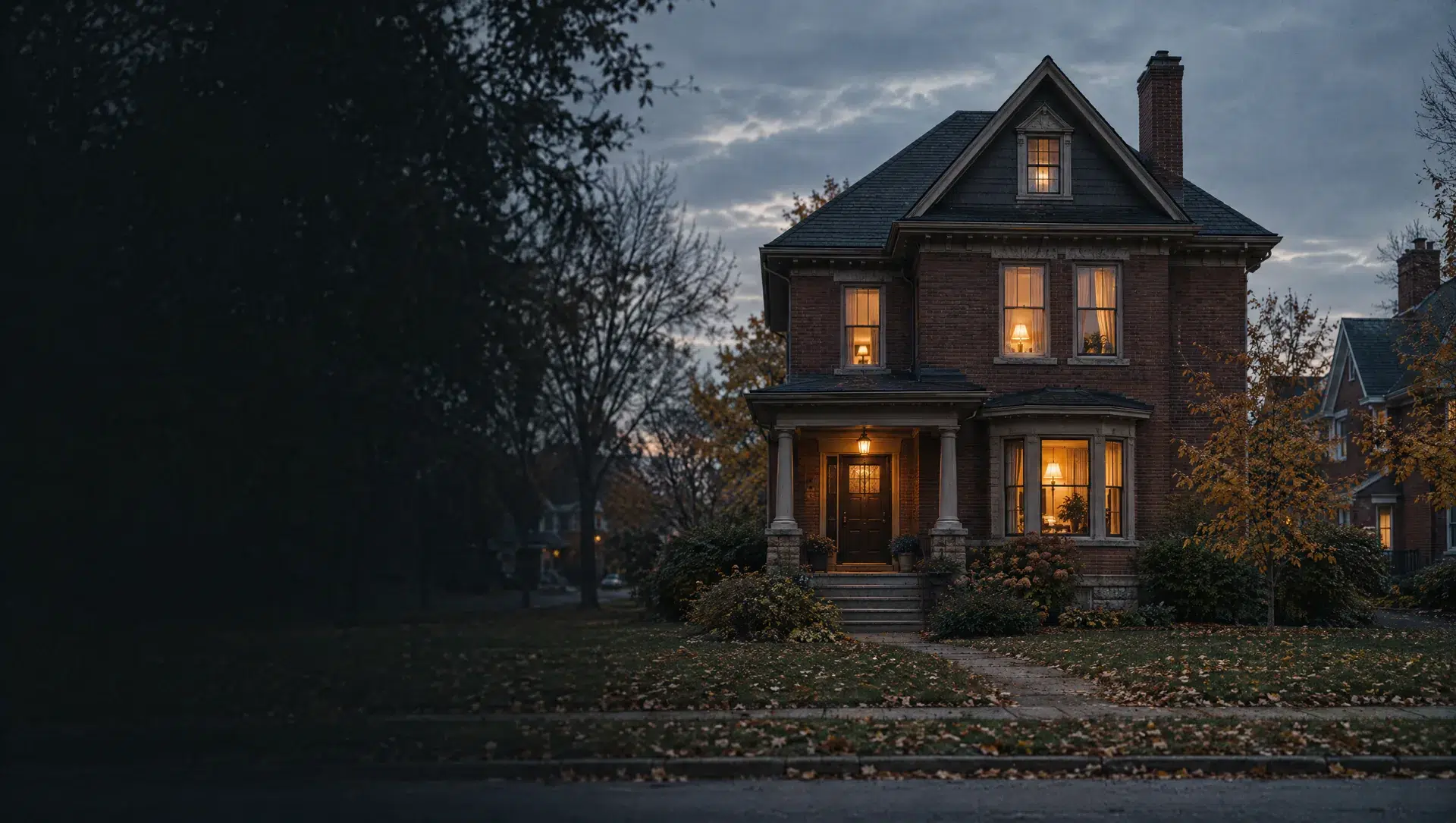
Block group 2 of tract 3375 takes in West Nepessing, Church, Liberty, Fair, Mason and Cedar Streets just north of city hall. The American Community Survey 2020 to 2024 counts 590 housing units, 428 owner-occupied, a median owner value of $180,900 (margin plus or minus $31,900) and a typical build year of 1950. Detached houses number 368 and 54 are mobile homes. The city's 29.3642 homestead millage applies to every parcel here.
Jefferson, Jackson and Lincoln Streets
Block group 1 of tract 3370 sits northwest of downtown, with Jefferson Street, North Jackson Street, Lincoln Street and Court, Grant Court, Sheridan Court and First Street. The American Community Survey counts 346 housing units, 180 owner-occupied, a median owner value of $185,600 (margin plus or minus $22,732) and a typical build year of 1959. Of the units, 285 are detached, 36 are in two-unit buildings and 25 are in buildings of three or four units.
Village West and Charbridge Arbor
Block group 2 of tract 3370 holds Village West Drive North and South, Charbridge Arbor, Carriage Hill Circle, West Oregon Road and West Genesee Street. The American Community Survey counts 788 housing units, mostly in multi-unit buildings, with 183 owner-occupied homes and a median owner value of $136,400 on a wide margin of plus or minus $36,291, so treat it as a rough guide. The typical build year is 1976. The city's Village West Pathway, about one mile long, starts just west of Oregon and Suncrest.
Rolling Hills, Golfside and Greensway
Block group 3 of tract 3370 sits on the city's west edge, about 2 miles from city hall, along Rolling Hills Lane, Golfside Drive, Greensway Boulevard, Mansfield Drive, Hampshire Drive and Golf View Lane. The American Community Survey counts 443 housing units, 210 owner-occupied, a median owner value of $239,100 (margin plus or minus $30,414) and a typical build year of 1988. Detached houses number 221, with 78 in two-unit buildings and 119 in buildings of three or four units.
Mill Creek, Oak and Old Farm
Block group 1 of tract 3375 covers Mill Creek Avenue, Oak Street, Higley Street, Gunridge Lane, DeMille Road, Old Farm Court and Lane, Killdeer Court, Turrill Avenue and County Center Street. The American Community Survey counts 895 housing units, 601 owner-occupied, a median owner value of $160,000 (margin plus or minus $47,272) and a typical build year of 1990. Detached houses number 458 and 298 are mobile homes, so ask early whether a home is manufactured and whether the buyer will own the land.
Pine, Higgins and Railroad Streets
Block group 3 of tract 3375 lies northeast of city hall, with Pine Street, Higgins Street, Railroad Street, Mockingbird Trail, Nightingale Street, Industrial Drive and East Park Street. The American Community Survey counts 481 housing units, 183 owner-occupied, a median owner value of $142,600 (margin plus or minus $17,179) and a typical build year of 1962. Detached houses number 272, and 74 units are in buildings of 50 or more units. The city's 47.3642 non-homestead millage applies to any parcel here that is not a principal residence.
Lapeer Township
Lapeer Township lies southeast of the city and has its hall at 1500 Morris Road. The American Community Survey counts 4,971 people, 1,874 owner-occupied homes, a median owner value of $254,100 (margin plus or minus $32,220) and a typical build year of 1978, with 2,017 of 2,219 housing units detached. Treasury's 2025 homestead millage is 21.0232 and the township's utilities page says homes have their own septic systems. About 83% of the township lies inside ZIP 48446.
Mayfield Township
Mayfield Township lies north of the city and sits entirely inside ZIP 48446. The American Community Survey counts 8,002 people, 2,723 owner-occupied homes, a median owner value of $188,100 (margin plus or minus $19,104) and a typical build year of 1978. Of 3,102 housing units, 2,445 are detached and 466 are mobile homes. Treasury's 2025 homestead millage is 21.0327, all in Lapeer Community Schools, compared with 29.3642 inside the city of Lapeer.
Elba Township
Elba Township lies southwest of the city, with its hall at Hadley and Lippincott Roads, and its own site says I-69 travels through the center of the township. The American Community Survey counts 5,244 people, 2,134 owner-occupied homes, a median owner value of $261,200 (margin plus or minus $25,273) and a typical build year of 1976. Treasury's 2025 homestead millage is 22.2592 in Lapeer Community Schools and 28.8716 in Davison Community Schools. About 96% of the township lies inside ZIP 48446.
Oregon Township
Oregon Township lies northwest of the city, and about 56% of its land is inside ZIP 48446. The American Community Survey counts 5,699 people, 2,043 owner-occupied homes, a median owner value of $236,400 (margin plus or minus $11,135) and a typical build year of 1976, with 2,212 of 2,243 housing units detached. Treasury's 2025 homestead millage is 20.9292 in Lapeer Community Schools, 23.6919 in Lakeville Community School District and 27.5416 in Davison Community Schools.