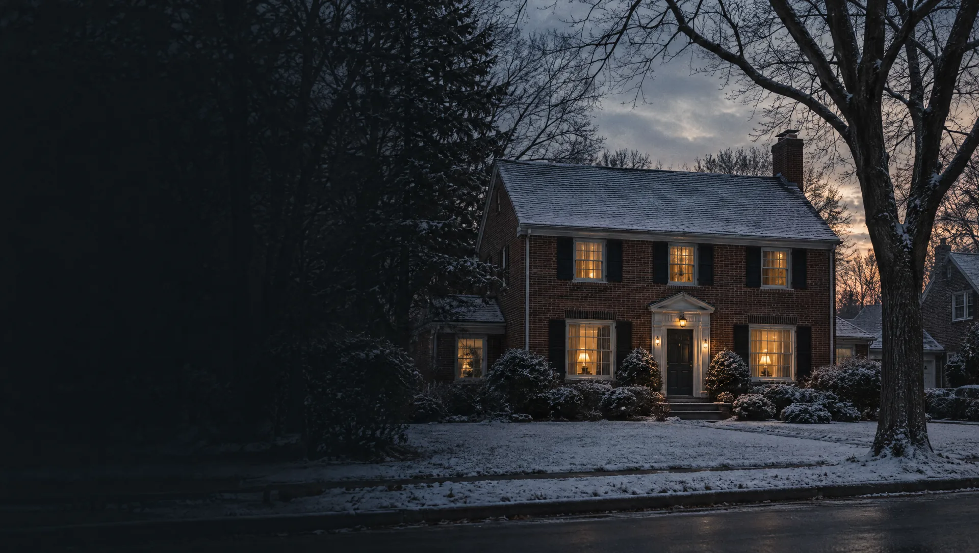
Gaslight Village
The business district around Wealthy Street and Lakeside Drive, built where Ramona Park, an amusement park beside Reeds Lake, drew crowds until the mid-1950s. The high school and middle school sit at its edge, and most of the city's homes in buildings of three or more units are in the block group around it, including condos and apartments along Lovett Avenue, where the city changed the zoning to allow multi-family homes. A mixed-use plan for the last large vacant site, about eight and a half acres, was approved in 2025. Prices for these blocks are in the next card.
Reeds Lake, Fisk Lake and the Lakeside Drive shore
The block group that rings both lakes: Lakeside Drive and John Collins Park, home to the only public boat launch on Reeds Lake, Fisk Lake Gardens on Edgemere Drive, Waterfront Park and Remington Park on Reeds Lake Boulevard, and the Manhattan Road and Pioneer Club Road frontage. Owner values near $799,000 with a wide margin, a typical home from 1951, and about one home in five built since 2000, more than in any other part of the city. Our sample of the FEMA map found the city's entire high-risk zone on dry land inside this block group, roughly 15% of its area. About one home in eight sits outside the city, in Grand Rapids Township.
Manhattan Park and the Cascade Road side
The northeast corner, from Manhattan Park, the city's largest at 46 acres, out along Cascade Road, El Centro Boulevard, Cotswold Lane and the upper end of Pioneer Club Road. The park reopened in July 2025 with a new pavilion, pickleball courts and a splash pad. Owner values near $462,500 with a wide margin, a typical home from 1957, and no renter households in the Census count. More than half of this block group's homes lie north of the city line in Grand Rapids Township, still in East Grand Rapids Public Schools, so its figures blend both.
Bonnell Avenue and the Woodcliff streets
The southeast, from Bonnell and Darby avenues near the lake's south shore down through Woodcliff, Oakwood and Beechwood drives to the east end of Hall Street, where East Grand Rapids Public Schools has its offices. Lots on Bonnell run past an acre, and two there sold as tear-downs for about $3.5 million each, in 2015 and 2018. Owner values near $727,000 with a wide margin, typical home from 1953, and about three owner homes in eight valued at $1 million or more. About one home in five in this block group is across the line in Grand Rapids Township and Forest Hills Public Schools.
St. Stephen and the south side of Wealthy Street
The west end, mostly between Wealthy Street and Lake Drive from the Grand Rapids line east past Cambridge Boulevard to Croswell Avenue, with Wealthy Elementary, the high school and Corewell Health Blodgett Hospital, which is inside the city despite its Grand Rapids mailing address. The Master Plan names the St. Stephen neighborhood around the 1924 church and school on Rosewood Avenue, and counts the blocks west of the hospital as its Northwest Wealthy neighborhood, mostly early 1900s houses on lots under 5,000 square feet. About seven homes in ten here were built before 1940, the highest share in the city. Owner values near $458,900.
Santa Barbara Drive, San Jose Drive and Fisk Road
The southwest: the curving Santa Barbara, San Jose and San Lucia drives, Seminole Road, Cadillac and Pontiac drives and Fisk Road, with Gladstone Drive along the Grand Rapids line. Several lots here run past three quarters of an acre, and the assessor's tear-down list includes $1,385,000 paid for a San Lucia Drive lot in 2024. Owner values near $705,800 with a wide margin, typical home from 1950, and more than a third of owner homes valued at $1 million or more.
Lakeside Elementary and the Pinecrest streets
The middle of the city south of Gaslight Village: Pinecrest, Orchard, Ogden, Floral and Maxwell avenues, Argentina Drive and Ross Court, down to Lakeside Elementary on Hall Street. Lots are mostly 50 to 75 feet wide, and houses on them sold as tear-downs for about $200,000 to $320,000 between 2015 and 2020. Owner values near $580,600, typical home from 1953, every home a detached house and about nine in ten owner-occupied.
Hall Street and the wood-named drives
Around Hall Street and the east end of Lake Drive, east of Breton Road: Beechwood, Maplewood, Oakwood and Ridgewood drives, Kenesaw Drive, Lake Grove Avenue and Gilmour Street. Nearly half the homes went up in the 1950s, and almost all are detached and owner-occupied. A Gilmour Street lot of about an eighth of an acre sold as a tear-down for $320,000 in 2023. Owner values near $484,100, typical home from 1953. The Rapid's southwest route runs Hall Street and Breton Road.
Breton Downs
The south end around Breton Downs Elementary on Boston Street, with Hampshire Boulevard, Oxford Road, York Drive, Whitfield Road and Elinor Lane running toward Burton Street. Houses here are newer than most of the city's: a little under three in ten date from the 1960s, and the typical home from 1959. Owner values near $479,000, and the Census found no owner home here valued at $1 million or more.
Anderson Drive and the west side of Breton Road
West of Breton Road at the south end: Anderson Drive, Rosalind Road, Willshire Drive, Lenox Road, Estelle Drive and Heather Street, with the lower end of Pinecrest Avenue. About three homes in five were built in the 1950s, the highest share in the city, and the typical home dates from 1956. Owner values near $477,700, the lowest of the city's nine block group medians, with a little under one owner home in five valued under $300,000.