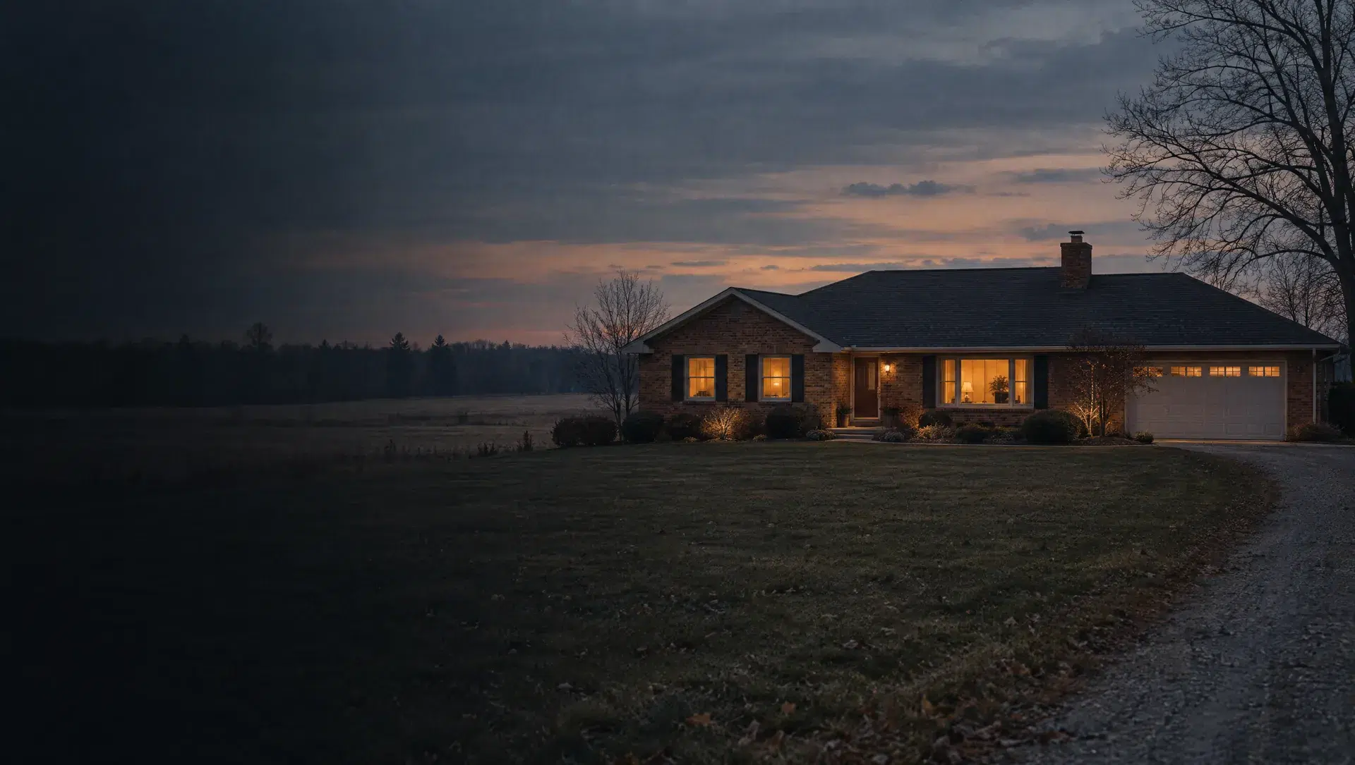
Village west side, Kent and Harvard streets
Block group 1 of tract 8304 covers the village's west side, with Oxford, Kent, Harvard, Yale and York Boulevard among its streets. The Census counts 435 homes, 356 of them owner-occupied, a median owner value of $185,000 with a wide margin of $70,538, and a median year built of 1971. OpenStreetMap labels North Point Commons and Yorkshire Manor here, and the Carleton Branch Library is on Kent Street. A ZIP point check at the library gives 48117.
Village east side, Rabbit Run Road and Hand Street
Block group 4 of tract 8304 covers the east half of the village, with Rabbit Run Road and Jones, Hand, Pine and Walnut streets. The Census counts 559 homes, 411 owner-occupied and 148 renter-occupied, a median owner value of $217,700 with a margin of $50,564 and a median year built of 1993. OpenStreetMap labels Carleton Mobile Home Park here, and the Census counts 123 mobile or manufactured homes in the block group. A ZIP point check at Kas Market Fresh gives 48117.
The village of Carleton as a whole
The village covers about one square mile and combines the two block groups above. The Census counts 994 homes, 767 owner-occupied and 203 renter-occupied, with a median owner value of $207,400 (margin $41,252) and a median year built of 1978. One-unit detached homes number 689 and mobile or manufactured homes 230. The village sits entirely inside Airport Community Schools, and Treasury lists its 2025 homestead millage at 34.2485 mills.
Indian Trail Road and Thornbrook Lane
Block group 3 of tract 8303 runs from Carleton's east edge toward I-275, with Indian Trail Road, Fawnwood Drive, Thornbrook Lane, Crooked Creek Lane and Calkins Road among its streets. The Census counts 439 homes, 407 owner-occupied, a median owner value of $407,000 with a wide margin of $78,601 and a median year built of 1961. OpenStreetMap maps the Carleton Post Office, Carleton Drugs and Carleton Glen Golf Club here. ZIP point checks at the post office and the golf club give 48117.
Creek Road and Pleasant Pond Drive near Ash Township Hall
Block group 2 of tract 8303 sits near the township's center and holds Ash Township Hall and the township's second fire station on Ready Road. Streets include Creek Road, Pleasant Pond Drive, Celia Road and Wilson Drive. The Census counts 338 homes, all owner-occupied, a median owner value of $365,100 with a margin of $27,049 and a median year built of 1979. A ZIP point check at the hall gives 48117.
Hudson Street, Prairie Circle and Swan Creek Road
Block group 1 of tract 8303 covers the township's southeast side. The Census counts 382 homes, 306 owner-occupied and 52 renter-occupied, a median owner value of $206,100 with a wide margin of $63,083, a median year built of 1976 and 172 mobile or manufactured homes. ZIP point checks on Hudson Street, Prairie Circle, Ash Drive and Swan Creek Road give 48117, while Barrington Drive and Clayton Trail on its east edge give South Rockwood's 48179.
Watermill Lane, Apple Street and Briar Hill Road
Block group 4 of tract 8303 covers the township's northeast corner. The Census counts 496 homes, 431 owner-occupied, a median owner value of $139,500 with a very wide margin of $96,710, a median year built of 1993 and 219 mobile or manufactured homes. OpenStreetMap maps a Guardian Industries site and a Bosch test facility here. ZIP point checks on Watermill Lane, Apple Street and Briar Hill Road give 48117, while Port Creek Road at the north edge gives Flat Rock's 48134.
Stoney Creek Road, Labo Road and Grafton
Block group 2 of tract 8304 covers the township's southwest corner, including the hamlet OpenStreetMap labels Grafton and streets such as North and South Stoney Creek Road, West Labo Road, Lavigne Drive and Woodslee Drive. The Census counts 314 homes, 229 owner-occupied and 63 renter-occupied, a median owner value of $291,300 with a margin of $73,274 and a median year built of 1974. ZIP point checks at Grafton and inside the block group give 48117.
Carleton West Road and Oakville-Waltz Road
Block group 3 of tract 8304 covers the township's northwest corner, with Carleton West Road, Pine Ridge Road, Oakville Waltz Road, Maplecrest Drive and Eldora Street. The Census counts 316 homes, 312 owner-occupied, a median owner value of $294,300 with a margin of $71,356 and a median year built of 1974. ZIP point checks on Carleton West Road, Maplecrest Drive and Eldora Street give 48117, though the Census ZIP map puts part of the block group's far north in New Boston's 48164.
Ash Township as a whole
Ash Township covers about 36 square miles with the village inside it. The Census counts 7,941 people and 3,279 homes, 2,790 owner-occupied and 364 renter-occupied, with a median owner value of $257,900 (margin $35,217), a median year built of 1977, 2,569 one-unit detached homes and 621 mobile or manufactured homes. More than 80% of the township's land is in ZIP 48117.