Downtown and West St. Clair Street
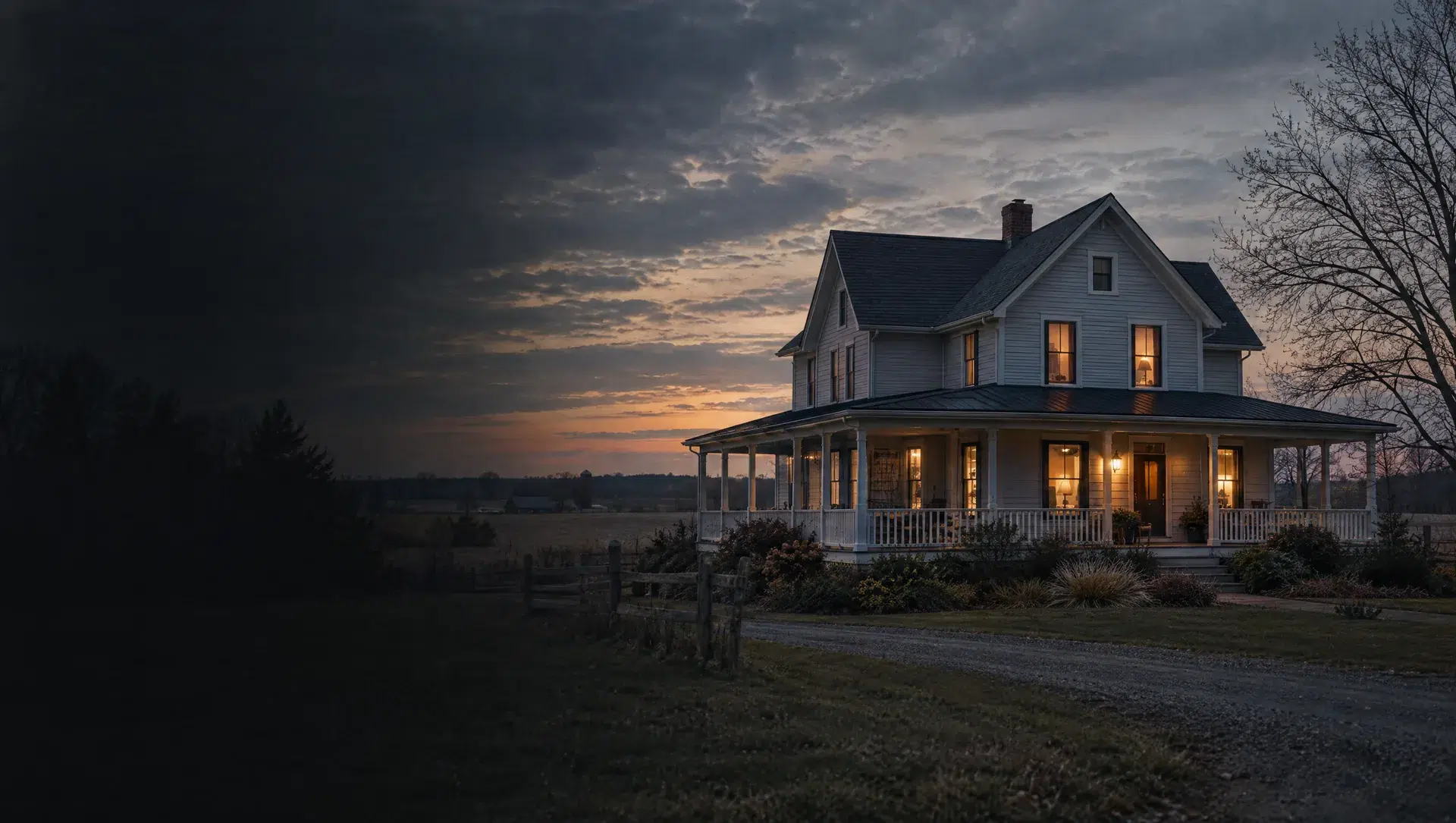
The village master plan describes West St. Clair Street as historic homes on larger lots, some on several acres of preserved forest, and says the West St. Clair Street Historic District is on the National Register of Historic Places. The Almont District Library at 213 West Saint Clair Street sits in tract 3405, block group 2, where the Census reports a median owner value of $282,200, plus or minus $26,267.
Northern Downtown Historic Neighborhood
The village master plan places these homes north of East St. Clair Street and west of Van Dyke Road on a traditional street grid, and notes a 1927 elementary school building converted into apartments. The village and township offices at 817 and 819 North Main Street sit on this side of downtown. Census tract 3405, which matches the village line, reports a median owner value of $246,200 and a typical build year of 1985.
Kingsbrook Estates and the north side
The village master plan describes Kingsbrook Estates as a mobile home park on the village's north side, built in 1964 with about 233 sites, narrow sidewalks and a community center. The block group that holds the village offices and the Research Drive industrial park (tract 3405, block group 1) counts 100 mobile homes among 442 housing units, a median owner value of $167,100 with a $17,663 margin, and a typical build year of 1969.
Northeast addition and Fred Schocke Subdivision
The master plan places this area between Van Dyke Road, East St. Clair Street and Kidder Road, with homes of mixed ages, some with attached garages and others with detached ones. Kidder Road at East St. Clair Street falls in tract 3405, block group 2, which the Census counts at 718 owner-occupied and 60 renter-occupied homes, with a typical build year of 1992.
East Ridge and Stone Ridge Condominiums
The village master plan lists East Ridge as 13 duplexes and one single-family home near Almont Road and Kidder Road, and Stone Ridge as nine duplexes and two single-family homes just west of Kidder Road, with sidewalks off the roadway in both. A condominium unit finances through the association's master deed, budget and insurance, so a lender asks for the project documents early.
Drakeshire Farms
The village master plan calls Drakeshire Farms one of the newer subdivisions in the village, mostly built out with only a few lots left, with traditional detached homes and sidewalks throughout. Addresses on Drakeshire and Brookshire Drives fall in tract 3405, block group 2 and ZIP 48003, where the Census counts 692 detached homes among 778 housing units.
K-Lynn Subdivision
The village master plan says K-Lynn was developed in many stages, so it holds detached single-family homes of mixed ages, with the newest phase built out in the 2020s and consistent sidewalks throughout. The Census reports a village median owner value of $246,500, plus or minus $18,765, and 1,050 owner-occupied homes village-wide.
Orchard Hills
The village master plan describes Orchard Hills as a mature, fully built-out subdivision of detached single-family homes, with sidewalks on most streets and a mix of young and mature trees. Across the village the Census counts 1,217 housing units, 975 of them detached single-family homes, with a typical build year of 1985.
West Winds Subdivision and West Creek Condominiums
West Winds is a subdivision of single-family homes, and the master plan describes West Creek Condominiums as a small development of two triplexes with light tan siding and brick exteriors, near Jonathon Drive. The Census counts 1,050 owner-occupied and 125 renter-occupied homes across the village, so buildings like these are a small part of the housing mix.
Hough Road and the south Van Dyke corridor
Hough Road meets Van Dyke Road about a mile south of downtown, in tract 3400, block group 3, which has 433 housing units, all detached single-family homes, and a typical build year of 1992. The Census median owner value is $474,200, but the margin is plus or minus $161,381 because the block group is small, so read it as a wide range, not a fixed price.
Van Dyke corridor from Dryden Road to Hollow Corners Road
The township's master plan places most commercial sites along or near M-53 and concentrates industrial sites on M-53 between Dryden and Hollow Corners Roads. Block group 2 of tract 3400, which holds both intersections, has 661 detached homes, a typical build year of 1987 and a Census median owner value of $334,200, plus or minus $35,690.
Eastern Almont Township acreage
Block group 1 of tract 3400 covers the township's east side, with 457 housing units, 441 of them detached homes and 16 mobile homes, a typical build year of 1992 and a median owner value of $320,700 with a wide $85,886 margin. The township master plan's land use inventory puts 53.4% of the township in agricultural-residential use and 42.1% in residential use.