Nottingham, Metamora and Lahser Road
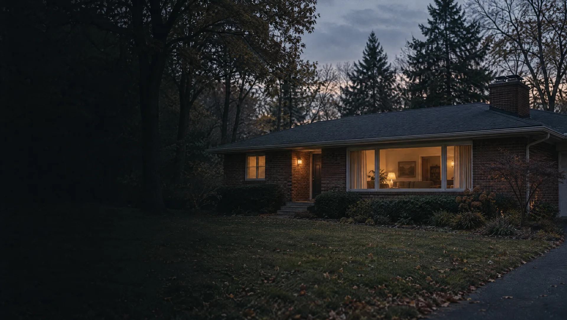
West of Lahser Road from 13 Mile up to 14 Mile, the subdivisions the village platted in the 1960s, with Nottingham's streets named from the Robin Hood story (Robinhood Drive, Friar Tuck Lane, King Richard Court) and Metamora Drive to the south. The Village Pines condominiums on Lahser came in the 1980s, which is why about one home in six here dates from that decade. Census owner values sit near $655,000, the median home is from 1967, and the village plans these lots at 16,000 to 25,000 square feet. Elementary students are assigned to Bingham Farms Elementary, just over the line in the next village.
The Rouge between Lahser and Evergreen
From 13 Mile to 14 Mile between Lahser and Evergreen roads, the Rouge River cuts diagonally through the village's estate lots, planned at 25,000 square feet to several acres. Ronsdale Drive, Kennoway Circle and Bellvine Trail wind through it, and Groves High School, Berkshire Middle School and the 18-acre Douglas Evans Nature Preserve sit here. Homeowners put values near $636,000, and half the homes were built by 1964. About 6% of the land falls in FEMA's high-risk flood zone. Roughly seven tenths of the area is assigned to Beverly Elementary, the western part to Bingham Farms Elementary.
South of 13 Mile: Georgetown, Sturbridge and Wendbrook
The only part of the village below 13 Mile, west of Evergreen Road, with Detroit Country Day School on 13 Mile and Hillview Lane, the Georgetown and Sturbridge subdivisions of the 1960s and the Wendbrook land the village has been planning as a park. All 436 homes the Census counted here are detached houses, and none of the occupied ones is rented. Built mostly in the 1960s, they carry owner values near $576,000. The Rouge bends through toward Riverbank and Highbank drives, leaving about 7% of this ground inside FEMA's high-risk zone. Bingham Farms Elementary serves it.
Riverside Drive and the mill pond
East of Evergreen Road up to 14 Mile, where Riverside Drive follows the river past Riverside Park, a half-acre park with a picnic table, a grill and access to the mill pond, and where the 15-acre Hidden Rivers Nature Preserve sits on 14 Mile. Waltham Drive and Old Pond Court are here too. FEMA's high-risk flood zone covers about 16% of the land here. Owner-occupied detached houses, about half from the 1950s, with values near $624,000 by owners' own estimates. Beverly Elementary serves it.
Beaconsfield Drive and Birwood Avenue
Between Riverside Drive and Southfield Road just below 14 Mile, around Beaconsfield Drive, Saxon Drive and Birwood Avenue, with the City of Birmingham across 14 Mile. By Census count the median home here dates from 1951, and nearly half went up before 1950. The owner value estimate, near $495,000, carries a wide margin, about $167,000 either way, so recent sales tell you more. Beverly Elementary serves it.
Beverly Park, Village Hall and 13 Mile
Between Evergreen and Southfield roads from 13 Mile up to Beverly Road. Village Hall and Southfield Township Hall stand side by side on 13 Mile at Chelton Drive, the 34-acre Beverly Park on Beverly Road has a sled hill, an ice rink, ball fields, tennis courts and disc golf, and Beverly Elementary is a few blocks east. By Census count every village home in a building of three units or more is here, Huntley Square off 13 Mile among them, so about one home in four is rented and the owner value estimate, near $521,000, carries a wide margin. Median home from 1965. The west side of Southfield Road from Beverly to 13 Mile is the village's planned Village Center.
Southfield Road to Pierce Street
The first stretch east of Southfield Road, from Beverly Road up to 14 Mile, on Dunblaine, Kinross, Buckingham and Locherbie avenues. This is where the village's street grid begins: the plan sets lots at about 6,000 to 12,000 square feet and 55 to 80 feet wide, smaller than the lots west of Southfield Road. Detached, nearly all owner-occupied houses, a median build year of 1955 and owner values near $444,000. Beverly Elementary serves it.
Pierce Street to Greenfield Road
From Pierce Street east to Greenfield Road below 14 Mile, around Madison Street, Edgewood Road and Our Lady Queen of Martyrs, with the regional water authority's elevated reservoir at 14 Mile and Edgewood. About two thirds of the homes went up in the 1950s, owner values sit near $409,000 and Greenfield Elementary is the assigned school. Across Greenfield Road is the City of Royal Oak, with its own school district and a different tax bill.
Greenfield Elementary and the 13 Mile side
From 13 Mile up to Beverly Road east of the Acacia Park Cemetery grounds, on Fairfax, Amherst and Lauderdale avenues and Glencoe Drive, with Greenfield Elementary on Fairfax and the shopping corner at Greenfield and 13 Mile. Owners valued their homes near $383,000, and close to two thirds of the houses were built in the 1950s, a median of 1955. The cemetery itself is Southfield Township land outside the village line.