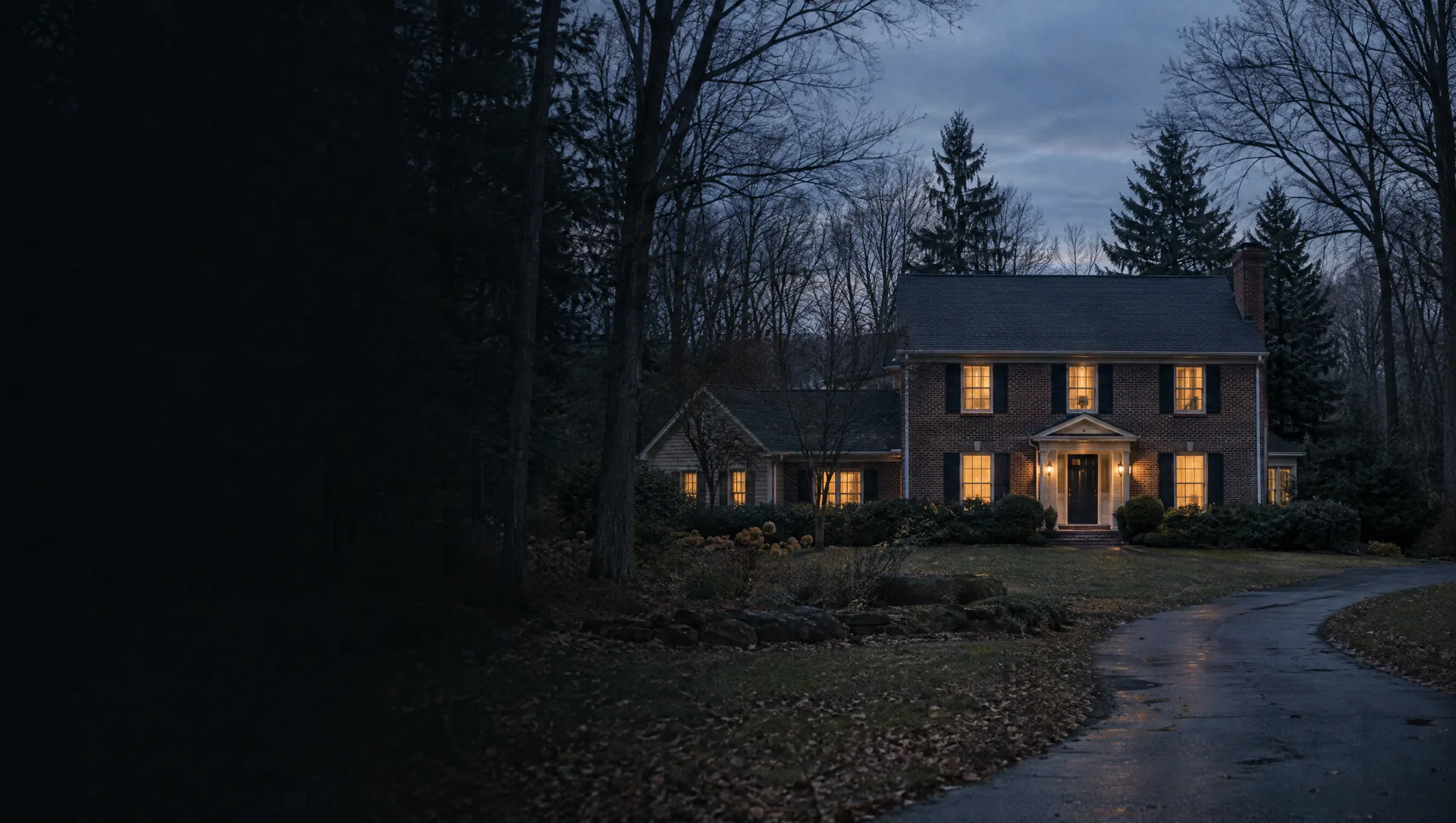
Bingham Woods, off Telegraph below 13 Mile
The village's largest group of homes: 191 townhouses, by the 2021 master plan's count, on River Crossing Street, Oakview Way, Overlook Circle and the short courts off them, with the four-story office buildings along Telegraph Road to the west and the Bingham Woods Club House, where village groups hold meetings. The Census block covering most of it counted 156 homes in 2020. The Franklin Branch of the Rouge runs through the ravines here, and about a tenth of that block's land falls in FEMA's high-risk zone, so check the unit's building against the flood map.
Bingham Pointe at Telegraph and 13 Mile
A 29-unit townhouse community on Bingham Pointe Drive, just north of 13 Mile and east of Telegraph, which the village planned as a step down from the offices on that corner to the single-family streets to the north and east. The Census block here counted 33 homes in 2020. The village office is a short walk south, inside an office building at 24255 Thirteen Mile Road. As in Bingham Woods, the association's budget and insurance are part of the loan review.
Bristol Lane, Britner Court and Sager Court
South of 13 Mile on the village's east side, named, like most village roads, for farm families: the land first homesteaded in 1833 was later split among the Adams, Bingham and Bristol families, among others. Bristol Lane, Bristol Court, Britner Court and Sager Court are all village-owned public roads. The master plan sets Britner and Sager courts at 0.8 to 2.5 homes per acre. The river runs close by, and about a fifth of the land in the Census block around Bristol Court sits in the high-risk flood zone.
Old Stage Road and Coachlight Lane
Two village streets north of 13 Mile, set aside in the master plan for lots smaller than the estate parcels around them. They are Phase 2 of the village's street improvement program: about 2,900 square yards of concrete torn out and replaced from late June 2026, plus a new catch basin where the two roads meet. The village calls them special assessment roads, so a buyer here should see the assessment's terms before closing.
Woodlynne Drive, Cardinal Lane and Shagwood Drive
The streets between Bingham Road and Old Stage Road just north of 13 Mile, with Fromm Court at the east end. The Census block that takes them in counted 68 homes in 2020 on about 15% of the village's land, and only about 3% of that block falls in the high-risk flood zone. Shagwood Drive is a public village road. Woodlynne Drive carries its own small special assessment, which the village budget passes through for a county-run pump, about $4,200 a year.
Bingham Road, the old farm road
The north to south road from 13 Mile to 14 Mile that gave the village its name, called Adams Road until it was renamed for the Bingham family. The village history traces houses still standing here to the 1800s: a Greek Revival farmhouse from the 1830s, a pegged post and beam house from about 1858, a Victorian from the early 1900s and an 1867 stone schoolhouse later turned into a home. An older house can bring a longer inspection and appraisal, so allow time for both.
Bingham Lane, Old Orchard Trail and Hickory Hollow
The north half of the village, which the master plan keeps for large estate lots at no more than 0.7 homes per acre. Bingham Lane, Old Orchard Trail and Hickory Hollow Lane are public village roads, while Timber Trail is now a walking path the village no longer plows. The Census block around Bingham Lane counted 61 homes in 2020 on about 13% of the village's land, with none of it in a FEMA high-risk zone. Old Orchard recalls the Bingham farm, which had 954 apple trees on 40 acres in 1900.
Outland Trail by 14 Mile
A condominium development off 14 Mile in the village's north end, with private open space that the master plan counts as one of only two recreation areas in Bingham Farms. The Outland family's stables and riding rings ran on 10 acres along the south side of 14 Mile until the mid 1970s. The plan sets Outland Trail at 0.8 to 2.5 homes per acre and asks that the wooded land just west of it stay at estate density. A loan here goes through the same condominium review as the townhouses.
Deauville Court and the Telegraph and 14 Mile corner
The village's northwest corner, around Bingham Court and Deauville Court, where the land reaches its highest point, about 754 feet, nearly 100 feet above the river valley in the southeast. The Census block here counted 22 homes in 2020 across about 14% of the village's land. The southeast corner of 14 Mile and Telegraph has village approval, from 2019, for an office building and senior living, and the plan says townhomes or small offices should follow if that project is not built.
Brooks Lane at 12 Mile
The village's southeast corner, just north of 12 Mile, where the land dips to its lowest point, about 656 feet, in the Rouge valley. This corner is different on paper: by Census lines it carries the Southfield ZIP code 48034 and lies in Southfield Public Schools, and Treasury lists a separate 2025 homestead rate for it, 40.81 mills. The 2020 Census counted 7 homes in the block here, and about a fifth of its land is in the high-risk flood zone. Brooks Lane is a public village road.