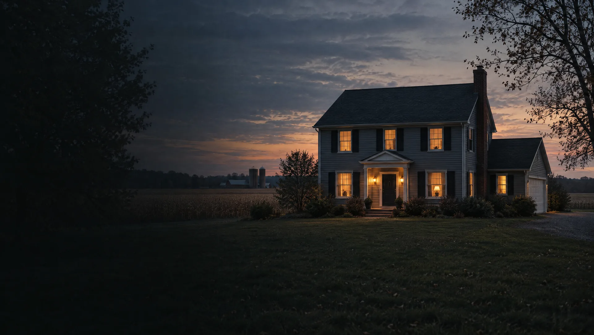
Beebe Street Memorial Park and the east side
North of Division Road and east of Main Street, around Beebe Street Memorial Park, the city's largest park at 38.5 acres with the pool, the splash pad and the Community Center on Festival Drive, and Bailey Park, where the historical society keeps a schoolhouse, a depot and a log cabin. The master plan places apartment buildings and the city's one manufactured home park east of Beebe Street, and light industry on Skinner Drive. Across its block group the typical home dates from 1974, about three homes in ten from 1939 or earlier, with owner values near $268,500.
Chaucer, Canterbury and the north end
The newer streets running north toward Pound Road, Chaucer Drive, Canterbury Drive and Crystal Drive, plus Willow Lane and Arbor Court near North Main. The master plan places the city's largest two-family development, 212 units, at the north end of town, west of Main Street and south of 33 Mile Road, and notes that most city homes sit on lots of a third of an acre or less. Shares a Census block group with the Beebe Street side, so the $268,500 owner median and 1974 typical year describe both.
South Main and the Grand Trunk streets
South of Division Road and west of Main, the grid of Oak, Beech, Bauman, Priestap and Beier streets out to Grand Trunk Avenue, named for the railway that reached Richmond on December 1, 1859. This is the city's 1950s and 1960s housing: about 220 of the block group's 458 homes were built in those two decades and its typical home dates from 1962. Owner values near $226,700, with a wide margin, and about eight homes in ten are owner-occupied.
Stoecker Lane, Woodside and Jolaine
The southwest corner, from Stoecker Lane, where the master plan notes senior housing and small offices, across Woodside Drive, Jolaine Court and Diane Lane to South Forest and Fitzgerald. Same block group as South Main, so the $226,700 owner median and the 1962 typical year describe this corner too.
Swan Creek and the bird streets
Northwest of downtown, Swan Creek Boulevard, Cygnet Circle, Mallard Lane, Quail Trail and Chickadee Ridge, the city's main 2000s building area. About 310 of the block group's 731 homes went up from 2000 to 2009, and about 150 are attached units, many of them condominiums. Owner values near $250,000 across the block group, with the typical home from 1995.
Garden Grove, Ridge Street and the trailhead
Garden Grove, a condominium complex off Division Road whose homeowners association keeps the Swan Creek Green Space, plus the old streets along Ridge and Parker, where the National Register listed former First Congregational Church at 69619 Parker Street is now the Richmond Center for the Performing Arts. The Macomb Orchard Trail, 23.5 miles long, starts at the trailhead park on the northwest corner of Main and Division. About 220 homes in this block group date from 1939 or earlier.
Lake Angela
The southeast quadrant around Lake Angela Drive, Lake Angela Pointe, Lake Pointe Cove and Windswept Pointe. The master plan explains that the lakes, Lake Angela West and East and Golden Pond, are former gravel pits turned into a residential setting, and that more land around them is platted for homes. Its block group, the most mixed in the city, has a typical home from 1989 and owner values near $189,900, with a very wide margin.
Howard, Dow and Mary streets
East of South Main between Division Road and Gierk Park, a one acre neighborhood park on the south side. St. Augustine Church at Main and Howard, with its stone twin steeples, anchors the corner, and the master plan locates one of the city's three apartment areas east of Howard Street, north and south of Dow Street. In this block group about a third of the 846 homes are rented, and about 290 are duplexes or small buildings of three to nine units.
Muttonville and the Gratiot corridor
The land between 31 and 32 Mile Roads east to the county line, annexed from Lenox Township in 1989 and kept in the city by agreements renewed in 1998 and 2019. It is mostly car-oriented shopping along Gratiot Avenue and Muttonville Lane, with some homes and farmland. Parcels here are City of Richmond parcels on the city's tax rate, though the area was Lenox Township land until 1989.