West River Drive and the northeast corner
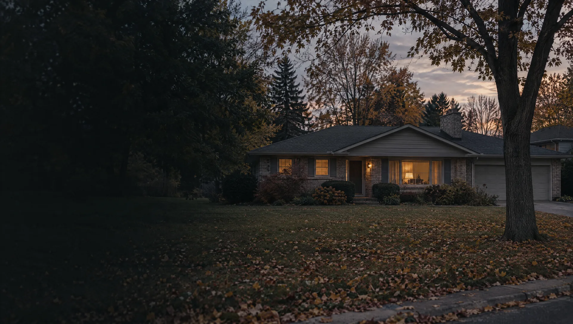
Walker's corner along I-96, US-131 and West River Drive, out to the Grand River. Its roughly 210 owner-occupied homes are detached houses with a typical build year of 1956 and Census owner values near $300,000, with a wide margin, while most of the tract's homes are apartments. About a quarter of this tract is in Comstock Park Public Schools, the only part of Walker that is, and the Grand River and York Creek put about a fifth of its land in FEMA's high-risk flood zone.
Alpine Estates Park and Ferris Street
East of Bristol Avenue around Alpine Estates Park and Walker Fire Station 3, on streets such as Ferris, Barbara and Rudgate, with I-96 crossing the north end. All but about 1 in 50 homes are detached houses, nearly all owner-occupied, with a typical home from 1969 and Census owner values near $256,000, among the lower block group figures in Walker. Kenowa Hills Public Schools serve all of it.
Richmond Hills and Bristol Avenue
Along Bristol Avenue around the Richmond Hills Dog Park, near the 220 units the city lists at Richmond Hills Apartments east of Bristol off Dunlap Street. About half the homes are in buildings of five or more units, renters slightly outnumber owners and the typical home dates from 1978. Owner values near $291,000, with a wide margin. Nearly a third of this block group carries the Grand Rapids 49504 ZIP, so check the city line on each address here.
English Hills Park and Golfview Drive
The northern part of the east side, around English Hills Park and Golfview Drive. Apartment buildings of five or more units hold about 74% of the homes and about one in five is attached, so condos and apartments make up nearly everything, with renters outnumbering owners close to three to one. Typical home from 1982, owner values near $304,000.
Walker Avenue and Wilder Center
A large block group holding the city's main business belt along Walker Avenue: Bissell's headquarters at 2345 Walker Ave NW and Meijer's at 2929, the Fred Meijer Pioneer Trail and the place federal maps still label Wilder Center. The homes are mostly apartments, about 57% in buildings of five or more units, with a typical build year of 1996. Owner values near $436,000 carry a very wide margin. Indian Mill Creek crosses it, and some streets, Keyton Court among them, use the Grand Rapids 49504 ZIP.
Kinnrow Avenue and Maplebrook Drive
East of City Hall on streets such as Kinnrow Avenue, Maplebrook Drive and Lamont Court, with Key Line Industrial Drive inside its edges. About nine in ten homes are owner-occupied detached houses, the typical one from 1998, and Census owner values near $440,000 are the highest of any block group in Walker, with a narrower margin than most.
City Hall, Kinney and Central Park
The civic center on Remembrance Road: City Hall, the Kent District Library's Walker Branch, City Central Park, the Walker Ice and Fitness Center and Kenowa Hills Central Elementary, near Kinney, a place name still on federal maps, and out to Kenowa Avenue on the west. A mix of detached houses (about 57%) and apartments (about 29%), typical home from 1985, owner values near $334,000 with a wide margin.
Zinser Elementary and Blandford Nature Center
The band of 1960s and 1970s subdivisions between Kinney and Standale, from Zinser Elementary and Shannon Street east to Mullins Avenue and the part of Blandford Nature Center inside the city. About 84% detached houses, nearly nine in ten owner-occupied, with owner values near $273,000 on the east side and $292,000 on the west. Brandywine Creek crosses it.
Standale's west side and Appletree Estates
On the northwest side of Standale, the federal place name at Lake Michigan Drive and Wilson Avenue, along Ferndale Avenue. About 309 of its homes are manufactured homes, many in the Appletree Estates and Leonard Gardens parks, and the Census median near $229,000 includes them, with a very wide margin. Typical home from 1992. The school district splits about evenly between Grandville and Kenowa Hills here.
Walker Community Park and Lincoln Lawns
North of Lake Michigan Drive, around Walker Community Park, Fire Station 2 and Lincoln Lawns Neighborhood Park. The western half, with the Ironwood condos, is nearly all owner-occupied, with owner values near $294,000 (wide margin) and a typical home from 1985. The eastern half, out to Sunrise Lane, runs near $338,000 with a typical home from 1990, and Brandywine Creek puts about 8% of it in the high-risk flood zone. Kenowa Hills covers most of both, Grandville the rest.
South of Lake Michigan Drive at Wilson
Standale's south side, east of Wilson Avenue, where the city lists Westown Apartments at the southeast corner of Lake Michigan Drive and Wilson, with the Jason Ridge condos nearby. About two thirds of homes are in buildings of five or more units and renters outnumber owners about five to two. Typical home from 1991, owner values near $325,000 with a wide margin. Grandville Public Schools serve it, and the Laker Line buses run along Lake Michigan Drive.
South Walker, Harmon Park to the Grand River
The largest block group by far, about a third of the city's land: Harmon Park, Cummings Elementary, Mines Golf Course, O'Brien Road and Grand Bluffs Drive, then Walker's share of Millennium Park, Johnson Park and Lake Leota along the river. Nearly all owner-occupied detached houses, typical home from 1966, owner values near $314,000. Grandville Public Schools serve all of it, and about 17% of its land is in FEMA's high-risk zone, almost all of it Grand River floodplain.