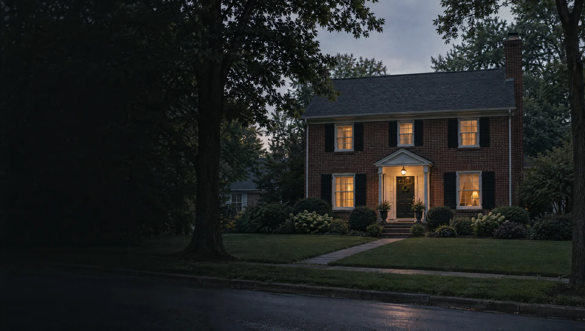
Ferry School and Canterbury Road
The northeast corner, against Grosse Pointe Shores to the east and the Macomb County line to the north, around Ferry Elementary on Roslyn Road, Canterbury Road and its courts, and Van K Drive. The school board bought Ferry's site in 1929, between two streets later named Morningside and Wedgewood. Every home the Census counts here is a detached, owner-occupied house, the typical one from 1965, later than in any other part of the city. Owner values sit near $492,000, above any other block group in the Woods, though the margin is wide.
Brys Drive and the Milk River pumping station
Along the north city line by Marter Road, on Brys Drive North and South, Blairmoor Court, River Road and Woods Lane. The Milk River pumping station sits on that line, and the city's chronology says the river flowed through the Woods before the 1958 Grosse-Gratiot Drain project. The summer bus to Lake Front Park picks up at Hampton and Marter. All detached and owner-occupied, typical home from 1959, owner values near $371,000 with a wide margin.
Wedgewood Drive and Lochmoor Place
North of Vernier Road in the eastern part of the city, along Wedgewood Drive, Hampton Road, Anita Avenue and the Lochmoor Place courts. The city's chronology calls Vernier Road perhaps the area's first road from Lake St. Clair, said to be named for Jeremiah Vernier. All detached houses and nearly all owner-occupied, typical home from 1951, owner values near $369,000.
Charlevoix Avenue and Yorktown Street
North of Vernier Road near the middle of the city, on Charlevoix Avenue, Yorktown Street, Wicks Lane and the Westbrook, Eastbrook and Centerbrook courts. Detached houses only, more than nine in ten owner-occupied, typical home from 1948. Owner values near $326,000 with a wide margin, a little under the citywide Census median of $342,100.
Mason School and Jules De Porre Park
East of Mack Avenue and north of Vernier Road, around Mason Elementary at 1640 Vernier, which opened in 1929, and the pocket park at Anita and Goethe. More of this block group rents than most of the Woods, about one household in four, and about one home in ten is in a building of five or more units. Typical home from 1946, owner values near $282,000.
Chene-Trombley Park and Ridgemont Road
West of Mack Avenue and north of Vernier Road, next to Harper Woods, on Ridgemont Road, Helen Avenue, Shorepointe Lane and Brys Drive. Chene-Trombley Park at Ridgemont and Mack was deeded to the village in 1943, and the city committed to renovating it in 2022. About one household in six rents, typical home from 1946, and owner values near $199,000, below any other block group in the city.
Beaufait, Lennon and Van Antwerp streets
West of Mack Avenue between City Hall and Vernier Road, on Jackson and Helen avenues and streets that carry the names of the area's old farm families, Beaufait and Van Antwerp among them. Lennon Street was named by developer and village president Joseph Beaufait for his mother's family. The typical home dates from 1945, the earliest of any block group here. Owner values near $254,000 with a wide margin, more than nine in ten homes owner-occupied.
The Lochmoor Club and Sunningdale Drive
The largest block group by land, about a fifth of the city, because the Lochmoor Club's golf course and the Grosse Pointe North High School campus on Vernier Road take up so much of it. The club dates to 1917 and opened its course in 1918. Homes line curving streets such as Sunningdale Drive, Fairway Drive and the Renaud and Oxford roads. Owner values near $425,000 with a wide margin, typical home from 1955, about four in five homes detached.
Parcells, Sweeney Park and Fairholme Road
East of Mack Avenue from Torrey Road up to Vernier Road, from Parcells Middle School at Mack and Vernier down to Sweeney Park, which has public access from Ford, Baltree and Clairview courts and Faircourt. Fairholme Road and the Renaud roads run through it. Every home counted is a detached, owner-occupied house, with a typical build year of 1948 and owner values near $370,000.
Ghesquiere Park and the Stanhope-Allard strip
West of Mack Avenue around the municipal center at 20025 Mack Plaza and the 32-acre Ghesquiere Park behind it, with the old Cook Schoolhouse close by. Allard Avenue and Stanhope Street sit in the strip of about 44 acres the village annexed from Gratiot Township in 1931. About 15% of households rent, typical home from 1949, owner values near $267,000.
Severn and Bournemouth roads
The southwest corner, west of Mack Avenue, on Severn, Bournemouth, Broadstone, Kingsville and Prestwick roads, with Harper Woods to the west and the Henry Ford St. John Hospital campus in Detroit just to the south. Detached houses only and almost all owner-occupied, typical home from 1951, owner values near $342,000, right at the city median.
Cook Road, Monteith School and the Hunt Club
The south end east of Mack Avenue, along Cook and Torrey roads and lanes such as Saddle, Peach Tree and Pear Tree, with Monteith Elementary at 1275 Cook Road and the Grosse Pointe Hunt Club, which took over the old Cook farm in 1911. Typical home from 1962, owner values near $424,000. About one home in five is in a building of five or more units, and about one household in eight rents.