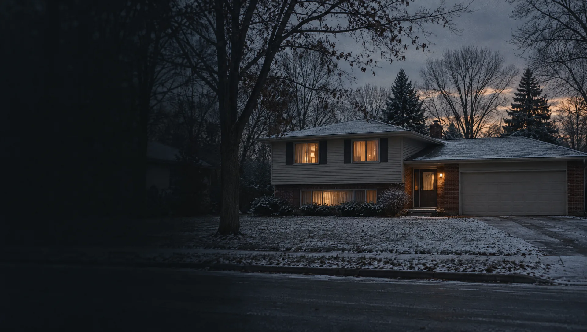
Gable Street and Lee Street Park
The small northeast corner between Chicago Drive and 28th Street, around Lee Street Park at Lee and Homewood streets, with Gable Street and Porter Court. Nearly all detached houses, about nine in ten owner-occupied, a typical home from 1957 and owner values near $231,000.
City Hall and downtown Chicago Drive
The band from 28th Street down to about 32nd Street, with City Hall on Wilson Avenue, the downtown stretch of Chicago Drive and side streets such as Dormax Street and Barrett Avenue. One of the earliest-built parts of the city: its typical home dates from 1955. About seven in ten homes are detached and three in four are owner-occupied, with owner values near $226,000.
The Grand River side and Indian Mounds Drive
The largest block group by land, about a fifth of the city, north of Chicago Drive to the Grand River: the Grand River Pathway on Indian Mounds Drive, the riverfront boat launch, Kent Trails and the I-196 corridor. Its typical home is from 2014, later than anywhere else in Grandville, and about four in five homes are in buildings of five or more units. Owners hold only about 74 homes here, so the owner value near $177,000 rests on a small sample.
Canal Avenue and 44th Street
The southwest corner from Canal Avenue to Kenowa Avenue, the Ottawa County line, down to 44th Street and Rivertown Parkway, with Grandville High School on Canal. The Census counted about 655 homes here, nearly all rented and most in apartment buildings, and no owner-occupied homes, so there is no owner value to quote. Typical home from 1984.
Missaukee Avenue and the I-196 side
The west side between Canal and Kenowa avenues north of 44th Street, along Missaukee Avenue, 41st Street, Fairmeadow Drive and Billmar Street, with I-196 running along the edge. About three in five homes are detached and about six in ten owner-occupied. Owner values near $221,000 carry a wide margin, typical home from 1971.
Wedgwood Park, Heritage Park and West Elementary
Between Wilson and Canal avenues from about 32nd Street south toward 44th: Wedgwood Park on Wilson, Heritage Park on Canal with its restored Schoolhouse #10, and the Little League fields beside West Elementary on Aaron Avenue. About 87% detached houses and nearly nine in ten owner-occupied, a typical home from 1968 and owner values near $271,000, right at the citywide figure.
Peck Street Park and Earle Avenue
East of Wilson Avenue toward Ivanrest between about 32nd and 34th streets, around Peck Street Park at Peck and Earle, with Vermont, Elwood and Woodbine avenues. Buck Creek Trail passes through. Mostly detached houses with a typical build year of 1957, owner-occupied about five homes in six. Owner values near $239,000, with a wide margin.
Buck Creek Trail and Yellowstone Drive
The curving streets east of Wilson Avenue south of 34th Street, Cheyenne, Yellowstone and Big Spring drives, with Buck Creek Trail running through on its way to the Grand River. The Census counted no renters here: about 858 homes, all owner-occupied, about one in nine attached. Typical home from 1980, owner values near $285,000.
Ivanrest Avenue and Calvin Crest Park
The east edge along Ivanrest Avenue from about 32nd Street down toward 44th, with Calvin Crest Park and its ten tennis courts on Ivanrest and streets such as Meadowood Lane, Pinedale Drive and Ponderosa Drive. About three in five homes are detached and two in five are in buildings of five or more units. Typical home from 1981, owner values near $319,000. A small strip at the north end is in Wyoming Public Schools.
RiverTown Crossings and Rivertown Parkway
The south end from about 40th Street to 44th between Wilson and Ivanrest avenues, where RiverTown Crossings opened in 1999 and condo courts such as Rivertown Point Court followed. About three homes in ten are attached, the most of any part of Grandville, and the typical home is from 1991. Owner values near $334,000 are the highest in the city, with about five homes in six owner-occupied.