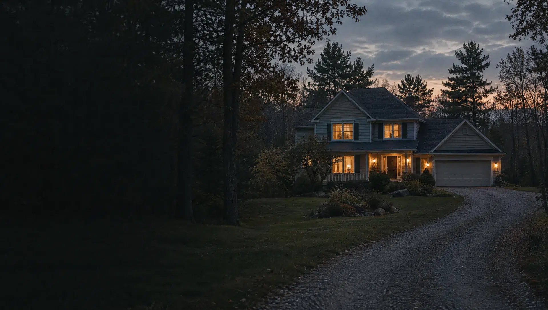
Fennessy Lake and the southeast bend
This block group, number 2 of Census tract 214.01, runs along the township's southeast corner near Fennessy Lake and Kenowa Avenue, where Farmhaus Farms operates the former Moelker orchard at 9265 Kenowa. The ACS 2024 median owner-occupied value is near $321,600 with a wide margin of about $69,145, the median year built is 1975, and 492 of its 525 housing units are owner-occupied. Treasury lists Grandville and Kenowa Hills millage here, so check the parcel.
Round Lake, Stafford Lake and east Leonard Street
Block group 1 of tract 214.01 covers the east side, with Round Lake and Stafford Lake mapped in OpenStreetMap. It holds 863 housing units, the ACS median year built is 2007, the newest of the five block groups, and the median value is near $319,100, with a margin of about $81,433. The Census counts 177 manufactured homes here, so loan type and land ownership matter. Homes near the small lakes should be checked against the FEMA flood map for the address.
Tallmadge center and the Township Park
Block group 1 of tract 214.02 holds Tallmadge Township Hall, the township park behind it and the hamlet of Tallmadge, with Lake Jabocena and Aman Park mapped nearby. It is the township's most mixed block group, with 1,260 housing units, 895 detached houses, 321 units in buildings with 10 or more units and 389 renter households. The median value is about $323,800 with a margin of about $103,009 and the median year built is 1992.
Grand Valley and the M-45 river crossing
Block group 3 of tract 214.02 includes the hamlet of Grand Valley, on M-45 just east of the Grand River, and the Elgin and Sand Creek area. All 424 housing units are detached houses, 411 are owner-occupied, the ACS median value is near $425,000 with a margin of about $91,431, and the median year built is 1981. Ottawa County's 279-acre Grand River Open Space, at 10849 Linden Drive, is mapped here.
Northwest toward Lamont
Block group 2 of tract 214.02 is the township's northwest corner, with the Sand Creek Golf Club and Western Greens Country Club mapped in OpenStreetMap and part of the Lamont census designated place. It has the highest median value of the five, near $449,000 with a margin of about $42,987, and a median year built of 1992. All 465 housing units are detached houses and 400 are owner-occupied. About 74% of its land is in ZIP 49435 and about 23% in 49404.
Lamont
The Lamont census designated place covers about 6.8% of the township's land. The Census ZIP area for Lamont's own ZIP, 49430, covers under 1% of the township, so most homes here carry a neighbouring ZIP code on their mail. The Lamont post office is mapped near the Grand River. Ask the seller which taxing units and which school district appear on the tax bill.
East tract 214.01 as a whole
The east tract is about 9.5 square miles, holds 1,388 housing units and, in the ACS 2024 estimates, 1,133 owner-occupied homes and 211 renter households. The median owner-occupied value is near $320,400 with a margin of about $55,255 and the median year built is 1997. It has 1,023 detached houses, 52 attached homes and 232 manufactured homes, so loan type varies more here than in the west tract.
West tract 214.02 as a whole
The west tract is about 22.6 square miles, more than twice the east tract's land, with 2,149 housing units and 1,566 owner-occupied homes in the ACS 2024 estimates. The median owner-occupied value is near $397,900 with a margin of about $60,541 and the median year built is 1990. It holds 1,784 detached houses, and its apartment buildings are concentrated in the center, so a purchase here can be a large lot or a unit in a building.
Ironwood Drive and Lake Michigan Drive corridors
The supervisor reports commercial and industrial growth along Lake Michigan Drive and Ironwood Drive, and the township's 2026 planning commission packets list site plan sets for projects on Ironwood Drive. A home near either corridor sits next to land that can change use through the rezoning and site plan steps posted on tallmadge.com, so read the zoning map dated December 18, 2025 and the master plan map dated January 28, 2020 for the parcel next door.
Elgin and Sand Creek
The hamlet of Elgin and Sand Creek are in the same block group as Grand Valley, so the ACS figures are shared: a median value near $425,000, a median year built of 1981 and 424 detached houses. Sand Creek and Little Sand Creek run through the area in OpenStreetMap. Drains and creeks are the reason to ask the Ottawa County Water Resources Commissioner whether a county drain assessment touches a parcel.