North Hill and the Paint Creek Trail
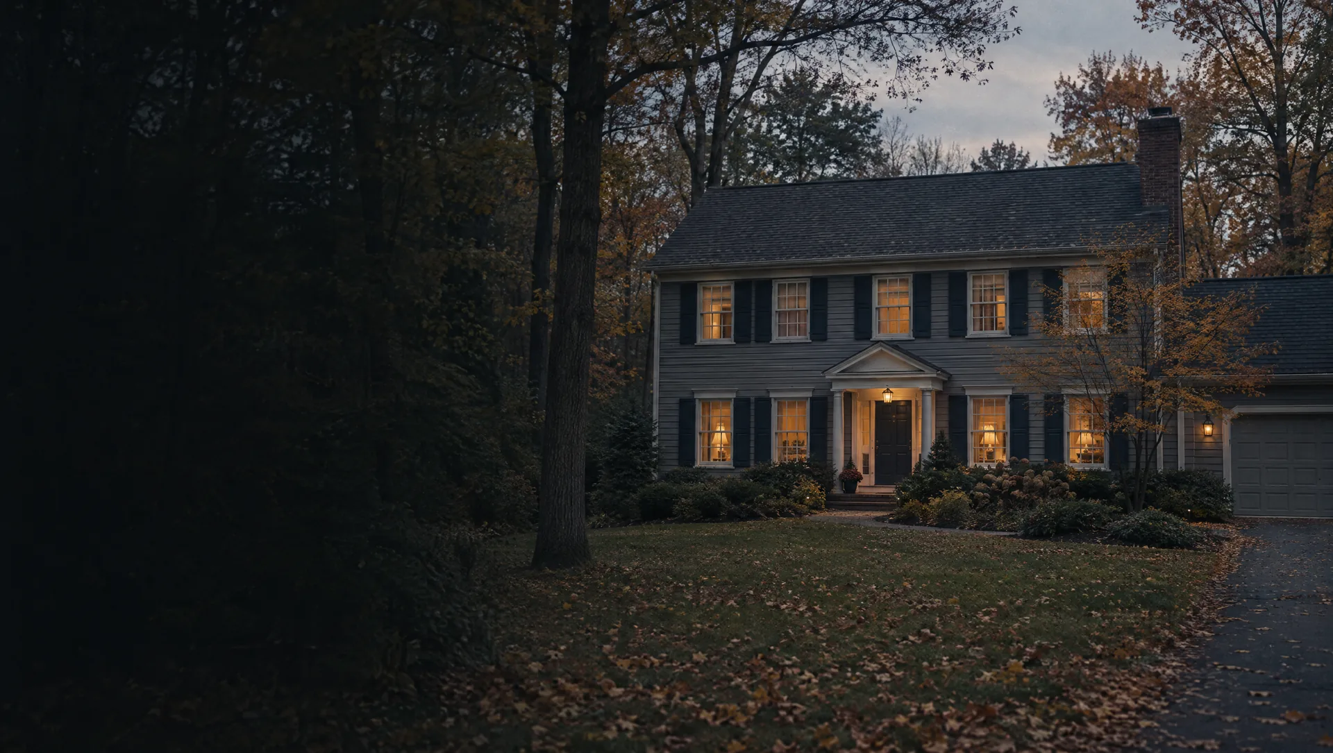
The oldest corner of the city, north of University Drive and west of Main: North Hill Circle, Woodward Avenue, Wilcox, Albertson, Ludlow, Griggs, Drace and Scott streets, with City Hall on Sixth Street and the Paint Creek Trail along the west edge. About 394 homes, nearly all detached and owner-occupied, and about 205 of them built before 1950, which makes 1949 the median build year. Census owner values sit near $454,800, with a margin of about $105,000.
West Third, Fourth and Walnut Boulevard
The blocks just west of downtown between the Clinton River Trail and University Drive: Walnut Boulevard, Wilcox, Pine, Oak, Campbell, Hacker, Harrison, Elm and Fraser streets and the numbered streets from Second to Fourth. About 446 homes, and renters outnumber owners about 269 to 106, with about 148 homes in buildings of 10 to 19 units. Owner values near $429,400 carry a margin above $140,000, so read them loosely. Pine, Oak, West Fourth and West Third are the streets where residents can get city parking permits.
Alice, Helen and Castell avenues
West of the older core toward Walton Boulevard: the North and South Alice, Helen and Castell avenues, Taylor, Wesley, May, Fairview, Renshaw and Peach, and Roselawn Drive. About 455 homes, about 433 of them detached, and about 113 built before 1940 alongside newer infill from the 2000s and 2010s. Owner values near $421,800, median build year 1967.
Hemlock, Aspen and Ironwood off Great Oaks Boulevard
The northwest edge of the city around Great Oaks Boulevard, Hemlock Drive, Aspen Drive, Ironwood and Oakwood. Most of its roughly 934 homes are apartments and condos from the 1960s through the 1980s, about 819 renter households against about 115 owners, so the Census owner value of $451,000 rests on very few homes. A buyer here is usually looking at an attached unit and an association.
Northwood, Maywood and Linwood
North of downtown off Romeo Road and High Street: Northwood, Maywood, Linwood, Highland, Mahaffey, Terry and Inglewood avenues, plus Catalpa, Sycamore and Maple drives and Krista Lane. About 397 homes, almost every one a detached, owner-occupied house, many from the 1940s and 1950s with newer rebuilds mixed in. Owner values near $513,700, median build year 1962.
Stony Creek Drive and Stony Pointe
Northeast of downtown toward Parkdale Road: Stony Creek Drive, Pebble Creek, Pebble Ridge and Pebble Pointe, Stony Pointe and Pointe Place boulevards, Creek View, Kentfield and Churchill Circle. About 473 homes, about 423 owner-occupied, mostly built in the 1980s and 1990s, with about 41 attached homes. Owner values near $478,700, though the margin is wide, about $135,000.
East of Main: Olde Towne, Charles Road and Rewold Drive
The blocks east of Main Street around East University Drive: Olde Towne Road, Charles Road, William Road, Rewold Drive, Meadow Lane, Lounsbury Avenue and East, Hill and Water streets. About 684 homes, many built in the 1950s and 1960s, with about 300 in buildings of five or more units. Owner values near $410,600, median build year 1965.
Bloomer Road, River Mist and South Street
The south side along the Clinton River and its trail: South Street, River Mist Drive, Bloomer Road and Bloomer Ridge, Jacob Way, Green Circle, Baldwin Avenue and Letica Drive, the city's largest block group at about 0.8 square miles. About 716 homes, more rented than owned, many of them condos and apartments from the 1990s and 2000s. The Census owner value near $170,300 carries a margin near $79,000 and mostly reflects condos.
Ramblewood, Springview and Autumnview
East of Parkdale Road toward Washington Road: Ramblewood Drive and Boulevard, Springview, Autumnview, Hollow Corners, Pondside, Carriage Way, Sunview and Loggers Circle. About 239 homes, every one a detached, owner-occupied house in the Census estimate, most built in the 1990s. Owner values near $717,700, well above the city median of $473,200.
Tulberry, Dunham and Miners Run
The northeast corner off Washington and Runyon roads: Tulberry Drive and Circle, Dunham, Welland, Werth, Catlin, Miners Run, Terra Lane, Copper Circle and Garnet Court. This is the part of the city that carries a 48306 mailing ZIP, about 492 homes in the 2020 count. All owner-occupied, about 112 of them attached, and most built in the late 1990s and 2000s. Owner values near $576,600, with one of the tighter margins on this page, about $29,000.
Rock Valley, Wyngate and Beaver Creek
The southeast corner toward Dequindre Road, where Stony Creek meets the Clinton River: Rock Valley Drive, Wyngate, Chase, Cloverdale, Flagstone, Beaver Creek, Ring Neck and Snowy Owl, with the Clinton River Trail along the south. About 685 homes, a mix of about 274 detached houses, 201 attached homes and condo buildings, nearly all from the 1990s and 2000s. Owner values near $405,100 carry a very wide margin.