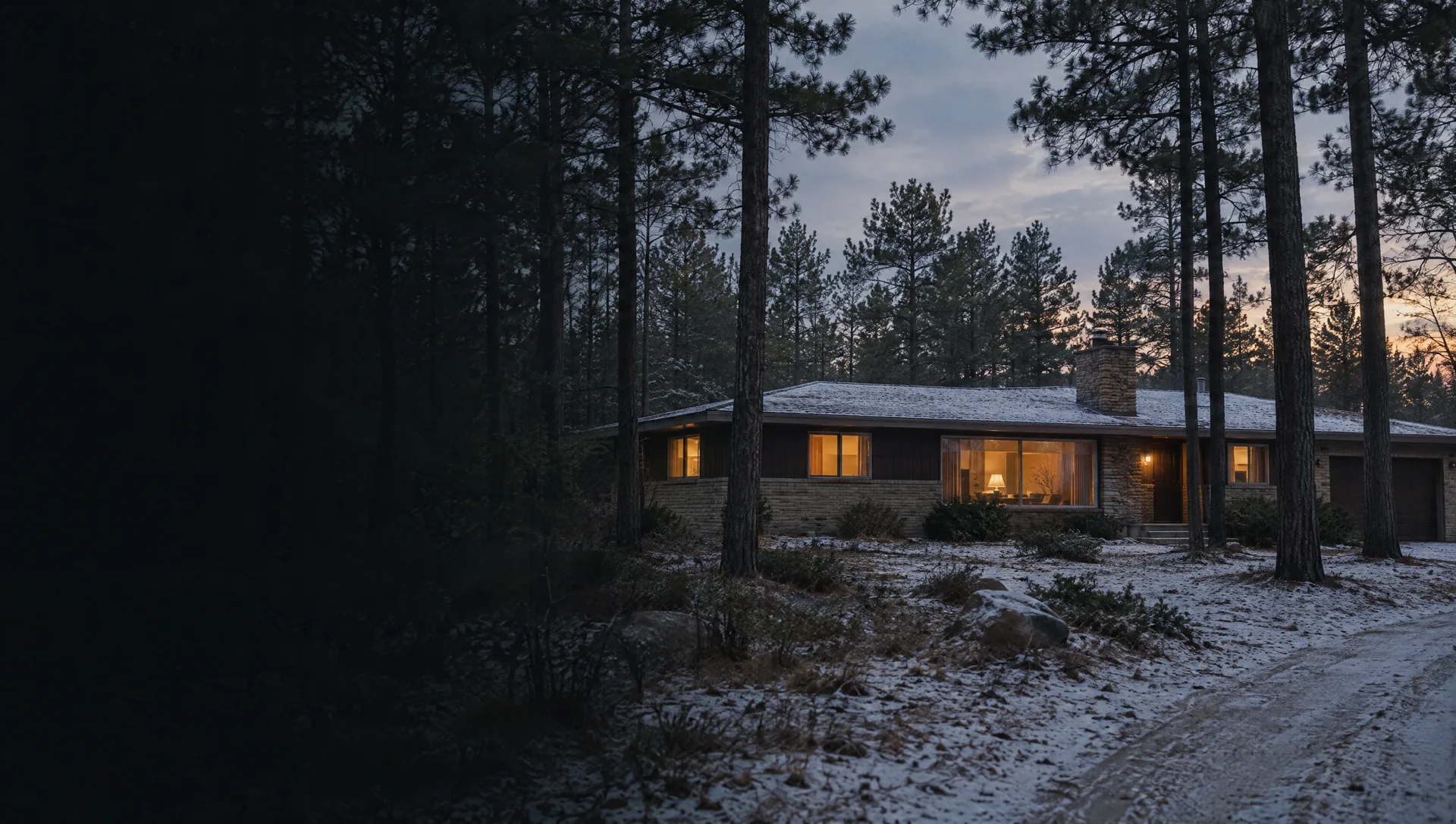
Sheridan Road between Ellis and Hile
Houses off S Sheridan Road from E Ellis Road to E Hile Road, on Chloe Circle, Pratt Lane, August Avenue, Creekview Lane and Whispering Woods Drive. Every home the Census counts here is a detached house, nearly all owner occupied. Owners put the median value near $227,100, with a margin of about $32,000, and the typical home was built in 1976.
Airline Road by US-31 and Black Creek
The northwest corner along Airline Road toward the US-31 and I-96 interchange, where Black Creek winds through, with streets such as Valley View Drive, Filonow Drive, Swanson Court, Fern Hills Drive and Molly Boulevard. The owner median is near $221,800 and the typical home dates from 1967. A narrow slice along Airline Road at the west line near Hile Road sits in Mona Shores Public Schools.
Cress Creek and Virginia Drive
A small pocket of about 140 homes west of S Quarterline Road, on Tolson Drive, Bexley Road, Virginia Drive, Carolyn Street and Cress Creek Drive. All of them are detached houses. Owners' median value is near $228,600, give or take about $26,000, and the typical home went up in 1972.
Quarterline Road at I-96
Blocks between E Hile Road and I-96 around S Quarterline Road, including Euro Drive, Wilfred Street, Jensen Road and Fett Street, about 400 homes, all of them houses. The owner median sits near $196,100 and the typical year built is 1968. A few homes at the west edge fall in Mona Shores Public Schools, so check the parcel.
Broadway Avenue and Black Creek Road
The north end of the township along E Broadway Avenue, E Summit Avenue, Black Creek Road, S Mill Iron Road, Kruger Road and Trailside Drive, where it meets the City of Muskegon. About a third of its roughly 715 homes are manufactured homes, so the Census does not publish an owner median here. The typical home dates from 1966.
Heights Ravenna Road and Sheringer Road
Rural and suburban lots east of Sheridan Road along Heights Ravenna Road, S Dangl Road, Sheringer Road, White Road and Scotch Pine Drive, with Black Creek crossing on its way to Mona Lake. Owners put the median near $173,400, with a wide margin of about $51,000, and the typical home was built in 1963, the oldest median of any block group in the township.
Mount Garfield Road and Harvey Street
The southwest corner around E Mount Garfield Road, S Harvey Street and Farr Road, home to the Lakes Mall at 5600 S Harvey Street and subdivisions such as Eastwind Drive, Turning Leaf Way, Copper Sands Run and Hittle Creek Drive. The typical home here dates from 2004, the newest in the township, and owners' median is near $332,000. About 220 attached homes and some 140 apartment or condo units in larger buildings sit here, and mail comes through three post offices: Muskegon, Fruitport and Spring Lake.
East township along Pontaluna, Sternberg and Brooks roads
Nearly half the township's land, east of the village from E Sternberg Road south to E Pontaluna Road and out along S Brooks Road, Cloverville Road and S Hilton Park Road, with Norris Creek and Rhymer Creek running toward Spring Lake. About 740 homes are spread over nearly 14 square miles, and the owner median of about $264,600 carries a very wide margin of about $94,000. The typical home dates from 1978.
Spring Lake's west shore and Stahl Bayou
Streets on the west side of Spring Lake's north arm, including E Point Drive, W Point Drive, Lakita Drive, Quimby Road, Rennells Road and Beech Creek Drive, plus the shore of Stahl Bayou. Every home the Census counts here is owner occupied, the owner median is near $334,100 and the typical home dates from 1996. Part of it carries a Spring Lake 49456 address.
Village of Fruitport and the head of the lake
The village, one square mile at the head of Spring Lake around Pomona Park, Park Street, Bridge Street and the numbered avenues, plus township streets just outside it such as Willow Creek Drive, Dogwood Lane and McDonald Drive. In the 2020 count, 482 of the block group's 669 homes were inside the village. Owners put the median near $202,600 and the typical home dates from 1969.