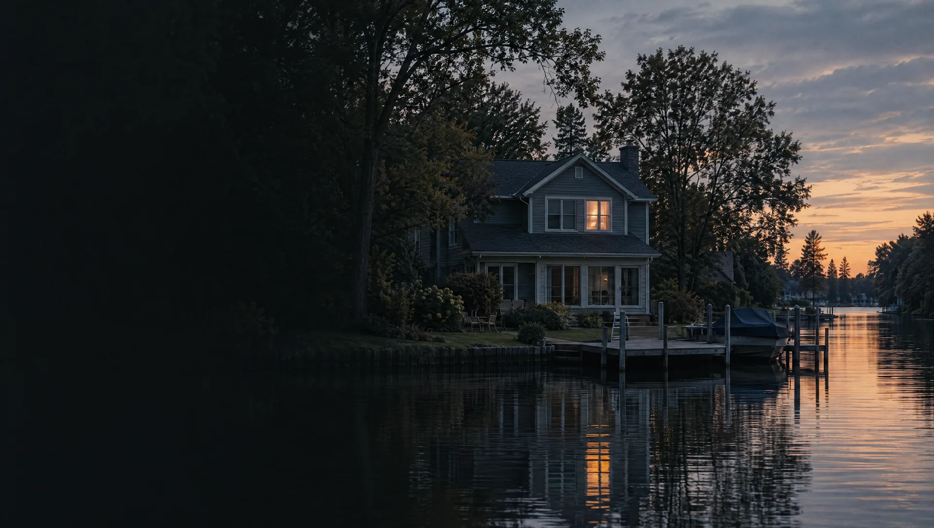
Lake Beach Drive and the north village
Village blocks north of Savidge Street along Lake Beach Drive, Buena Vista Road and N Buchanan Street, where the village meets Spring Lake. Owners put the block group's median value near $409,400, the typical home was built in 1963, and about one home in eight is held for seasonal use. On the assessor's 2026 roll, its 542 valued home parcels center near $367,000, the middle half from about $266,000 to $500,000, and about a third of them carry no principal residence exemption.
Mill Point and the village riverfront
The village's Grand River edge, from Mill Point Park and its public boat launch on School Street to Tanglefoot Park on W Exchange Street, with Riverfront Drive and Marina Bay Drive on the water. Owners' median value is near $305,800, with a wide margin, homes typically date from 1971, and FEMA maps about a third of the land as high-risk flood zone. The assessor's 2026 roll puts its 451 home parcels near $277,000 at the middle, and its 121 condo units sit higher than its houses, near $393,000 against $260,000.
East village around Parkview Avenue
The village east of downtown, along Parkview Avenue, Railroad Avenue and E Exchange Street, with Lakeside Beach at N Lake Street and Beach Drive. The typical home here was built in 1948, older than in any other block group in the township, and owners put the median near $275,800, with a wide margin. Our flood sample found none of its land in the high-risk zone. On the assessor's 2026 roll its home parcels center near $270,000, the middle half from about $228,000 to $362,000.
Leonard Street and River Bend
Township land between M-104 and the Grand River east of the village, along Leonard Street, River Bend Drive, Oak Point Drive and Heron Drive. Every home in its block group is single-family and nearly all are owner-occupied, with a median value near $344,400 and a typical build year of 1979. About three acres in ten fall in the high-risk flood zone along the river. The assessor's 2026 roll centers its 815 home parcels near $364,000, the middle half from about $282,000 to $508,000.
Hammond Bay and Channel View Drive
East of the village above M-104, where Hammond Bay Street, Channel View Drive and Bayou Meadows reach toward the lake's eastern bayous. All 353 homes in the block group are single-family, the typical one built in 1967, with an owner median near $393,400. Fruitport Community Schools serve roughly two thirds of this area, the eastern part, and that changes the tax rate. On the assessor's 2026 roll its home parcels center near $506,000, the middle half from about $323,000 to $637,000.
M-104 and 148th Avenue
The Cleveland Street stretch of M-104 east of the village, with State Road, Lloyds Bayou Drive and streets named for Canadian cities. About 386 of its 628 homes are manufactured homes, the Census publishes no owner median here, and about four in ten occupied homes are rented. Fannie Mae needs a manufactured home and its land classified together as real property, so a home on a rented lot is usually financed another way. The assessor's 2026 roll lists 216 improved home parcels here, 139 of them condo units, centered near $338,000.
Boom Road and the southeast corner
The rural east end between M-104 and the Grand River, toward 144th Avenue and the Crockery Township line, with Boom Road, Arcadia Woods Drive and Waterleaf Trail. All 563 homes in its block group are owner-occupied single-family houses, typically from 1995, with an owner median near $445,400, and about a quarter of the land is in the river's flood zone. Nunica itself lies farther east, in Crockery Township. The assessor's 2026 roll centers its 511 home parcels near $460,000, the middle half from about $340,000 to $596,000.
North Fruitport Road toward Fruitport
The lake's east side north of the bayous, along North Fruitport Road toward the Muskegon County line and the village of Fruitport at the lake's northeast end. Owners put the median value near $353,200, homes typically date from 1993, and about 93% of occupied homes are owner-occupied. Most of it is in Spring Lake Public Schools, with Fruitport schools along the eastern edge. On the assessor's 2026 roll its 800 home parcels center near $378,000, with the middle half from about $274,000 to $611,000, and its 109 condo units near $255,000.
West Spring Lake Road and Lovell Road
The west shore of Spring Lake north of Ferrysburg, from Water Tower Park at Van Wagoner and West Spring Lake roads up to the 80-acre Rycenga Park at the north end of West Spring Lake Road, with US-31 along its west side. Owners' median value is near $484,800 and the typical home is from 1988. The drive to the village crosses the M-104 bridge through Ferrysburg. Values spread widely here: the assessor's 2026 roll centers its 627 home parcels near $490,000, the middle half from about $309,000 to $778,000.
Wildwood Springs and 174th Avenue
West of US-31 in Grand Haven Area Public Schools, along Wildwood Springs Parkway and 174th Avenue, with the district's Lake Hills Elementary on Dogwood Drive. Homes typically date from 1995, owners put the median near $380,400, and about a tenth of the land, near the Little Black River, is in the high-risk flood zone. On the assessor's 2026 roll, its 325 home parcels center near $458,000, the middle half from about $278,000 to $619,000.
Lake Hills Drive and the Lake Michigan shore
The township's Lake Michigan side north of Ferrysburg, along Lake Hills Drive, North Shore Estates Road and Woodland Ridge Drive. Rented homes outnumber owner-occupied ones here, and about 466 sit in buildings of five or more units. The shoreline parcels fall under EGLE's erosion and dune maps, and the beach edge carries FEMA's coastal VE zone. On the assessor's 2026 roll, its houses and other non-condo home parcels center near $491,000 and its 56 condo units near $177,000.