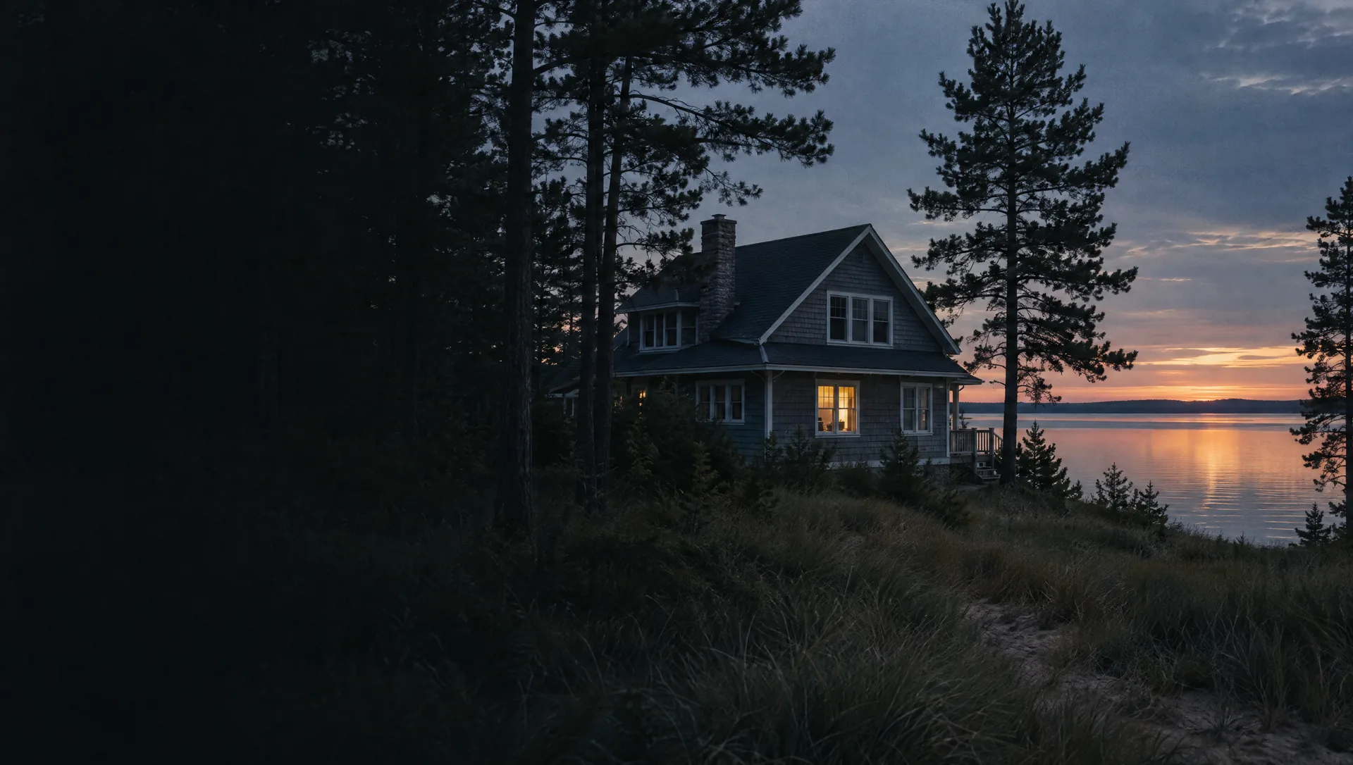
Idlewild and the Lake Michigan bluffs
The city's northern Lake Michigan frontage west of Lake Harbor Road, along Idlewild Road, Nob Hill Drive, Winnetaska Road and Norton Hills Road, with Dune Harbor County Park and the city's Lake Harbor Park. The block group's owner median is near $360,900, with a wide margin, and the typical home dates from 1972. About 38% of its land is mapped as Critical Dune Area, and the Idlewild plats open EGLE's list of Norton Shores parcels in High Risk Erosion Areas.
Lincoln Park and McCracken Street
Blocks at the north edge near Sherman Boulevard, along McCracken Street, Griesbach Street, Lincoln Street, Forest Hills Road and Bellevue Road, around Lincoln Park Elementary on Leon Street. The two block groups carry owner medians near $222,600 and $188,400, the second with a wide margin, and typical build years of 1971 and 1957. The FY2027 city budget replaces a 72-year-old water main on McCracken.
Seminole Road, Manitou Boulevard and Harbor Breeze Drive
Streets north of Mona Lake's west end: Manitou Boulevard and Belmont Drive, Wickham Drive near Mona Shores Middle School on Woodside Road, and Seminole Woods Drive and Harbor Breeze Drive toward the water. Across the three block groups, owner medians run from about $202,900 to $223,400 and typical build years from 1957 to 1971. The survey estimate shows no renter-occupied homes in the Manitou Boulevard block group.
Harbor Point and Fairway Drive
The north shore of Mona Lake's western basin, on Harbor Point Drive, Lake Point Drive, Fairway Drive, Braeburn Drive and Lin-Nan Lane, with Mona Shores High School at 1121 Seminole Road on its north edge. All 413 homes the survey counts are owner-occupied, the typical one built in 1983, and at about $385,900 its owner median is the highest of any block group in the city.
Mona Kai and Lake Shore Boulevard
Mona Lake's north shore east of the high school, from Lake Shore Boulevard, Mona Kai Boulevard and Peninsula Drive up to Seaway Drive, with the Norton Shores branch library at 705 Seminole Road. Lake homes share the block group with the Lake Forest apartments, so renters hold about 376 of 629 occupied homes and 267 homes are in buildings of five or more units. Owners put the median near $222,700, homes typically date from 1977, and about 14% of the land is in the lake's flood zone. East-end addresses such as 121 Seminole Road use the 49444 ZIP code.
Ross Park and Wendover Boulevard
Mona Lake's south shore, from the city's Ross Park and Rood Point Road east along Wendover Boulevard, Highgate Road and Wellesley Drive, with Muskegon County Airport on Sinclair Drive in the same block group. Owners put the median near $258,200, with a wide margin, the typical home was built in 1965, and the lake's edge falls in FEMA's coastal AE zone.
Henry Street, Brookwood Drive and Porter Road
The middle of the city around City Hall at 4814 Henry Street: Brookwood Drive, Yorkshire Drive and Hendrick Road to the west, Eugene Avenue, Churchill Drive and Ross Park Elementary on Randall Road to the east, and Davis Road and McDowell Street toward Sternberg Road. The three block groups are detached houses almost without exception, with owner medians from about $231,200 to $282,400 and typical build years from 1970 to 1976.
Lake Harbor Road south to Hoffmaster
The southwest part of the city, about a fifth of its land, from Churchill Elementary on Porter Road south along Lake Harbor Road and Black Lake Road past Oak Ridge Golf Club to P.J. Hoffmaster State Park, which the DNR addresses as 6585 Lake Harbor Road, Muskegon. Homes are newer here, typically from 1998, with an owner median near $366,000, and about 27% of the land is Critical Dune Area. Streets toward Little Black Lake use the 49444 ZIP code.
Pontaluna Road and Little Black Lake
The south end around Little Black Lake and Black Lake Park, along Pontaluna Road, Farr Road, Westshire Drive and Watershore Drive toward Grand Haven Road. Nearly every home is in Grand Haven Area Public Schools, and addresses split among the 49441, 49444 and 49456 ZIP codes. The typical home dates from 2003, renters hold about half of occupied homes, owners put the median near $333,300, and about 7% of the land, around the lake, is in FEMA's AE zone.
Harvey Street and Mount Garfield Road
The southeast side along Harvey Street, Mount Garfield Road, Sternberg Road and Enterprise Drive, south of the Lakes Mall area in Fruitport Township. About 244 of its 574 homes are in buildings of five or more units and 165 more are attached, the typical home dates from 2001, and the Census owner median carries too wide a margin to quote. Grand Haven Area Public Schools serve about two thirds of its homes and Mona Shores the rest.
Airline Road, Getty Street and Hile Road
The east side where Black Creek meets the east end of Mona Lake: Airline Road, Getty Street and Lake Shore Boulevard near Hidden Cove Park, then Marshall Road, Hile Road and Ellis Road to the south. Owner medians are near $166,500, with a wide margin, and $180,000, and the typical homes date from 1961 and 1953. Close to three acres in ten of the northern block group lie in FEMA's flood zone along the creek, and most homes in that block group use 49444.
Broadway Avenue and Kenora Street
The northeast corner beside Muskegon Heights, the only part of the city in Muskegon Public Schools: blocks of Broadway, Summit and Columbia avenues, typically from 1954, with an owner median near $119,200 and a wide margin, and about 416 manufactured homes on Kenora Street, Calgary Drive, Sarnia Street and Yorkton Parkway off Norton Avenue. A conventional loan on a manufactured home needs the home and the land under it to be titled together as real estate, so ask early how a home on a leased site can be financed.