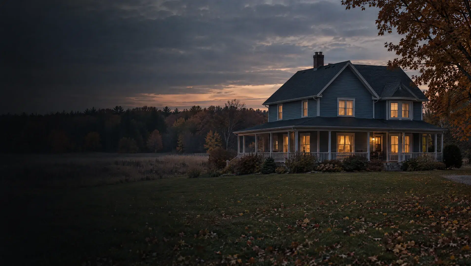
Salem hamlet and Chubb Road
Census block group 3 holds the hamlet where Six Mile Road meets the old railroad line, the center of township life since the 1800s according to the township master plan, and the land around Chubb Road. The 2024 American Community Survey shows 300 homes, all detached, a median year built of 1961 and a median owner value of $622,300, but the margin is about $315,365, so read it as a range. The hall at 9600 Six Mile Road and the small township sewer system are here.
Six Mile Road west of the hamlet
Census block group 1 is centered on Six Mile Road and covers about 7.4 square miles. The American Community Survey counts 423 owner-occupied homes, all detached, built around 1979 on median and valued near $561,600 with a margin of about $129,974. The township plan treats this part of the township as rural housing, with a one acre minimum lot in some categories and two acres in its low density neighborhoods, so wells and septic are the norm.
North Territorial Road, east side
Census block group 2 sits along North Territorial Road near Brookville in the township's southeast and covers about 8.6 square miles. The 2024 survey shows 473 homes, all detached, with 371 owner-occupied, a median year built of 1973 and a median value near $434,100, margin about $131,477. Its southern edge meets Napier Road, Joy Road and Ann Arbor Road, the roads the township used to outline its Urban Services District for future water and sewer.
North Territorial Road, west side
Census block group 5 runs along the western part of North Territorial Road and covers about 8.2 square miles with only 334 homes, 319 of them detached, built around 1995 on median. The American Community Survey shows a median owner value of $815,300 with a margin of about $319,230, the widest spread in the township, so a single typical figure is unreliable. Larger parcels mean more acreage questions, such as the township natural feature and wetland ordinances.
Sunset Drive area near South Lyon
Census block group 4 is centered on Sunset Drive in the northwest and has the township's largest count: 3,146 people and 1,091 homes in about 4.2 square miles. Of those homes, 483 are detached and 608 are mobile or manufactured, a median year built of 1999 and 902 owner-occupied homes per the 2024 survey. Census does not publish a median value for this block group, so use a sale or appraisal, and see manufactured home financing.
Gotfredson Road and M-14 Urban Services District
The township set aside about 1,400 acres in sections 25, 26, 35 and 36, bounded by North Territorial Road, Napier Road, and Joy and Ann Arbor Roads, to receive public water and wastewater, according to the Urban Services District page. Water is planned from the Great Lakes Water Authority and sewer from the Ypsilanti Community Utilities Authority, funded by a $20 million state economic development grant. Homes here may be offered public service sooner than the rest of the township, so ask the township for current phase maps.
Curtis Road and Brookville Road
Brookville, along the road of the same name, became the first settlement in the township according to its master plan. Two preserves sit at this corner of the map: a 25 acre woodland with wetlands at Curtis and Brookville Roads and the 27 acre Creekshead preserve on Curtis Road, which Legacy Land Conservancy says has a Plymouth mailing address even though it is in Salem Township. Like the rest of the township, parcels here carry wells and septic unless the lot sits inside a service district.