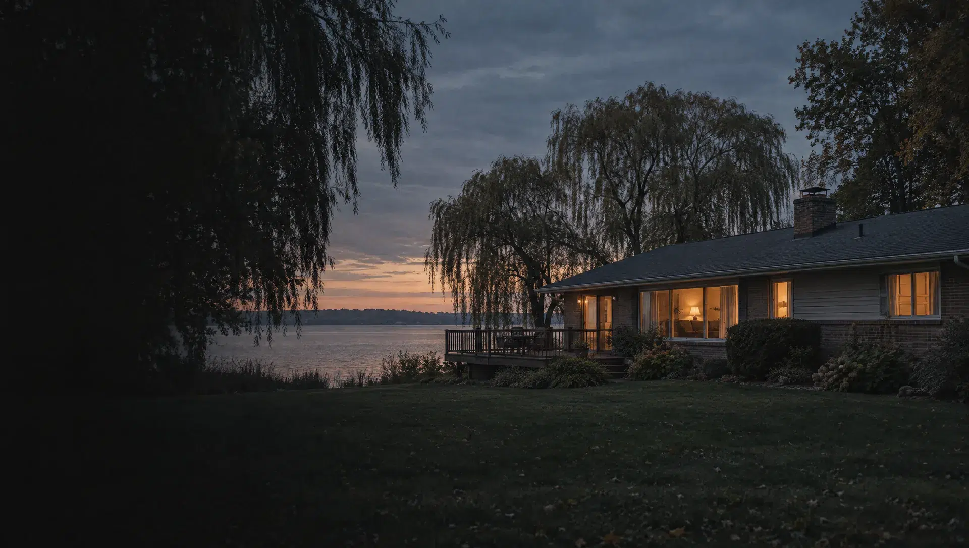
Whitmore Lake shoreline and Main Street
Block group 2 of tract 4650.02 holds the Community Park at 9725 Main Street, the library on Barker Road and the Community Center at 9101 Main Street, all in ZIP 48189 and Whitmore Lake Public Schools. The 2020 to 2024 Census puts the owner median at $411,600 with a wide margin of $82,803, a typical build year of 1979 and 180 owner homes beside 142 rented ones. 162 homes sit in buildings of five or more units.
Main Street south and Jennings Road
Block group 3 of tract 4650.02 runs south from the village along Main Street to the Jennings Road Athletic Complex at 168 Jennings Road, in ZIP 48189, and takes in the Links at Whitmore Lake at 1111 Six Mile Road. The Census owner median is $260,700 with a margin of $63,666, the typical build year is 1980, and the block group counts 465 owner homes and 197 renters. Whitmore Lake Public Schools covers most of it, and the Six Mile Road point sits in South Lyon Community Schools.
Whitmore Lake Road west
Block group 2 of tract 4650.01 follows Whitmore Lake Road in the township's west, where a point at 7500 Whitmore Lake Road falls in ZIP 48189. The Census owner median is $322,400 with a margin of $37,407, the typical build year is 1995, and 365 of its 374 homes are detached houses on their own lots. A sliver of the far west belongs to Dexter Community Schools, so the parcel record settles the district.
Northwest edge, tract 4650.01
Block group 1 of tract 4650.01 is a small area near Whitmore Lake's northwest where the Census counts 422 manufactured homes among 486 homes. The reported owner median is $23,700 with a margin of $13,435, so the figure describes manufactured homes and is not a price for a site built house. ZIP 48189 and Whitmore Lake Public Schools apply at the point checked.
East of the village toward Six Mile Road
Block group 1 of tract 4650.02 lies east of the village, and a point at its center falls in ZIP 48189 and Whitmore Lake Public Schools, with an eastern edge in South Lyon Community Schools. The Census owner median is $265,600 with a margin of $30,460, the typical build year is 1990, and 709 of its 778 homes are detached houses, with 570 owner homes and 208 renters.
Earhart Road and the Pontiac Trail corner
Block group 1 of tract 4660 covers the whole southern strip, and the Earhart Road and Pontiac Trail corner falls in ZIP 48105 with Whitmore Lake Public Schools. The 2020 to 2024 Census puts the owner median at $487,700 with a wide margin of $76,284, a typical build year of 1979 and 335 owner homes against 21 rented. Ann Arbor Public Schools covers the far southern edge of the same block group.
Sutton Road and Nollar Road, east
Block group 2 of tract 4660 reaches the township's east, where Rolling Meadows Country Club at 6484 Sutton Road falls in the 48105 ZIP area. Most of the block group's land is in ZIP 48178 and South Lyon Community Schools, while the golf course point sits in Whitmore Lake Public Schools, so the mailing address, the ZIP and the school district can all differ. The Census owner median is $465,900, with a margin of $35,641, a typical build year of 1972 and 535 owner homes.
Southern edge, Ann Arbor Public Schools
A strip along the township's southern boundary belongs to Ann Arbor Public Schools, and a point checked there falls in ZIP 48105. It sits inside block group 1 of tract 4660, whose owner median is $487,700 with a margin of $76,284. About 10% of the township's land is in this district, and its 2025 homestead millage of 41.2259 differs from the Whitmore Lake figure of 42.9734.