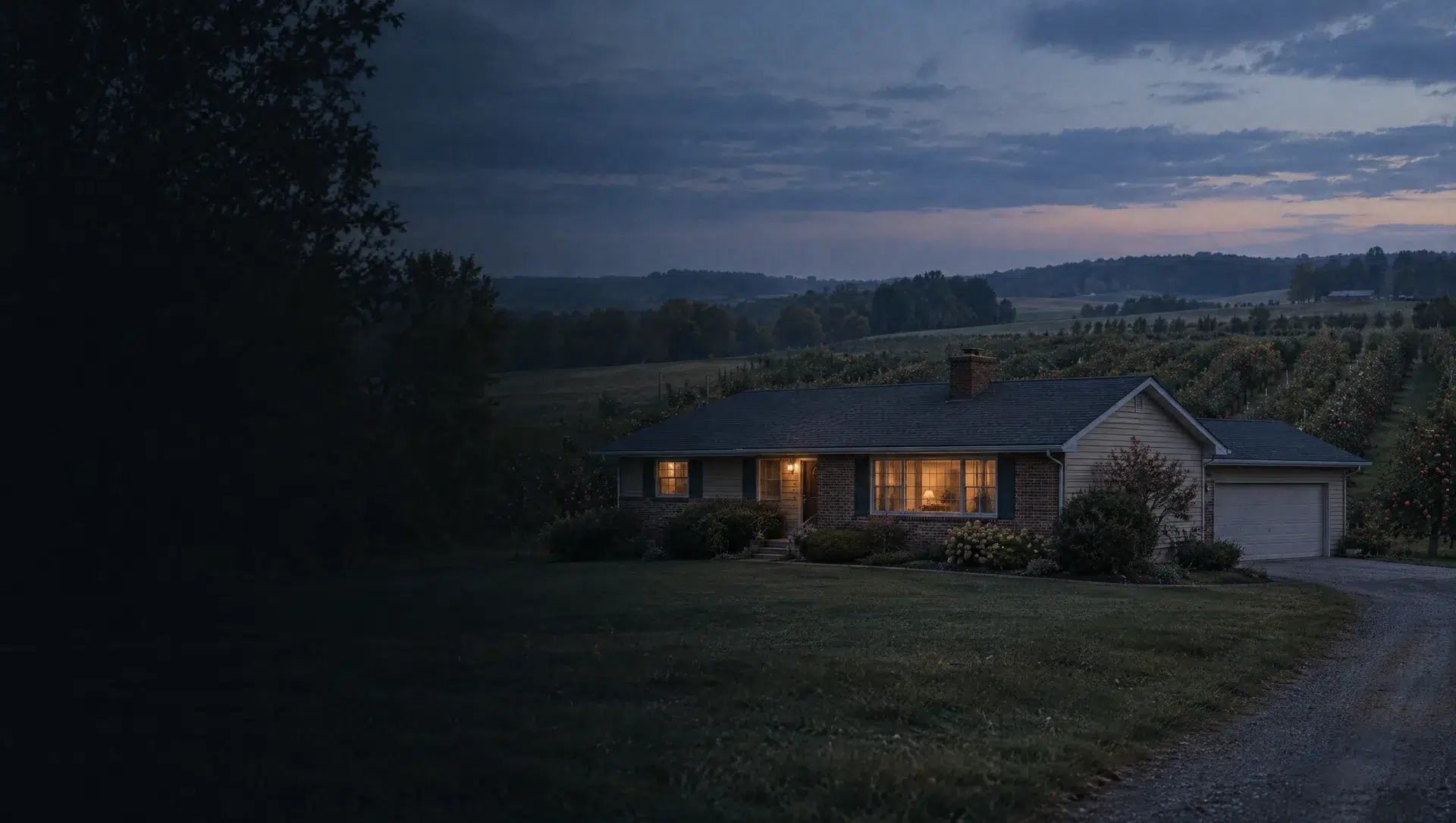
Fruit Ridge Avenue and 9 Mile Road
The township's northwest corner, where TIGERweb's road layer shows Fruit Ridge Avenue meeting 9 Mile Road. A point here sits in ZIP 49345 and in Sparta Area Schools, which taxes 33.0684 homestead mills in 2025. It falls in block group 1 of tract 114.01, where the 2020 to 2024 American Community Survey gives an owner median value near $319,900 with a margin of about $72,321 and a median year built of 1974. That wide margin means the value is a range, not a point.
Ballards Corners
OpenStreetMap labels Ballards Corners as a hamlet near the township's north edge, and a point there falls in ZIP 49345 and Sparta Area Schools. It shares block group 1 of tract 114.01 with Fruit Ridge Avenue, so the same American Community Survey figures apply: a median owner value near $319,900, a margin of about $72,321, and a median build year of 1974 across 461 housing units, 439 of them owner-occupied.
Gibbs Road and Stage Avenue
In the township's west, TIGERweb lists Gibbs Road and Stage Avenue near 7 Mile Road. A point here carries ZIP 49544, a ZIP that also covers part of Walker, yet it sits inside Alpine Township and Kenowa Hills Public Schools, which taxes 29.5884 homestead mills in 2025. It is in block group 1 of tract 114.01, so the owner median near $319,900 and median build year 1974 apply, with a wide margin.
Peach Ridge Avenue at 7 Mile Road
TIGERweb's road layer lists Peach Ridge Avenue and 7 Mile Road together near the township's center-west. A point here is in ZIP 49321, which is a Comstock Park mailing ZIP, and in Kenowa Hills Public Schools. It also falls in block group 1 of tract 114.01, with a median owner value near $319,900, a margin of about $72,321, and a median year built of 1974.
The township hall and Alpine Avenue
The township hall at 5255 Alpine Ave NW, which the Census geocoder places in ZIP 49321, sits in block group 2 of tract 114.01. The 2020 to 2024 American Community Survey gives that block group an owner median value near $265,400 with a margin of about $25,637, a median year built of 1978, and 332 owner-occupied homes among 419 housing units. Kenowa Hills Public Schools applies at this point.
Baumhoff Avenue and 8 Mile Road
TIGERweb lists Baumhoff Avenue and 8 Mile Road together in the township's northeast quarter. A point here is in ZIP 49321 and Kenowa Hills Public Schools. It shares block group 2 of tract 114.01 with the township hall, so the owner median near $265,400, a margin of about $25,637, and a median build year of 1978 apply, and Wahlfield County Park sits on Alpine Avenue not far away.
Walker Avenue and 6 Mile Road
Walker Avenue NW meets 6 Mile Road NW in TIGERweb's road layer at the middle of the township. A point here is in ZIP 49321 and Kenowa Hills Public Schools, and it falls in block group 2 of tract 114.01, where the 2020 to 2024 American Community Survey gives an owner median value near $265,400, a margin of about $25,637, and a median year built of 1978.
Hendershot Avenue
Hendershot Avenue NW runs through block group 1 of tract 114.03 in the township's southwest. A point on it is in ZIP 49544 and Kenowa Hills Public Schools. The 2020 to 2024 American Community Survey counts 748 housing units here, 608 owner-occupied, with a median year built of 1987 and a margin of 3 years. The survey does not publish a usable median value for this block group, so use the parcel's own record.
Ridgeport Drive and Jamesway Drive
TIGERweb's local road layer lists Ridgeport Drive, Jamesway Drive, Raap Drive, Hoogewind Drive and Candi Lane around a point off Peach Ridge Avenue in the township's south. The point is in ZIP 49544 and Kenowa Hills Public Schools. It is in block group 2 of tract 114.03, with a median year built of 1994 and an owner median value near $369,200 with a very wide margin of about $103,761.
Cisco Grove and Alpine Church Road
TIGERweb lists Cisco Grove, Alpine Church Road, Baumhoff Avenue and 5 Mile Road around a point in the township's south-center, and the Alpine Township Sports Park at 1850 Alpine Church Rd NW sits along this road. The point is in ZIP 49321 and Kenowa Hills Public Schools, in block group 2 of tract 114.03 with a median year built of 1994 and a wide value margin.
Alpine Avenue near Henze Street
The township's Fire Station 1 at 1100 Henze St NW, a point the Census geocoder places in ZIP 49321, sits close to Alpine Avenue's retail stretch in the township's south. The point is in Kenowa Hills Public Schools and block group 2 of tract 114.03, with a median year built of 1994. OpenStreetMap maps Walmart Supercenter, Aldi and Gordon Food Service along the avenue here.
Westgate and Westshire Drive
The township's Westgate Neighborhood Park at 4906 Westshire Dr NW anchors this area on the township's east edge. A point here is in ZIP 49321 and, unlike most of the township, in Comstock Park Public Schools, which taxes 35.814 homestead mills in 2025. In block group 2 of tract 114.05 the survey gives a median owner value near $234,500 with a margin of about $27,824, a median build year of 1963, and 502 owner-occupied homes among 523 housing units.