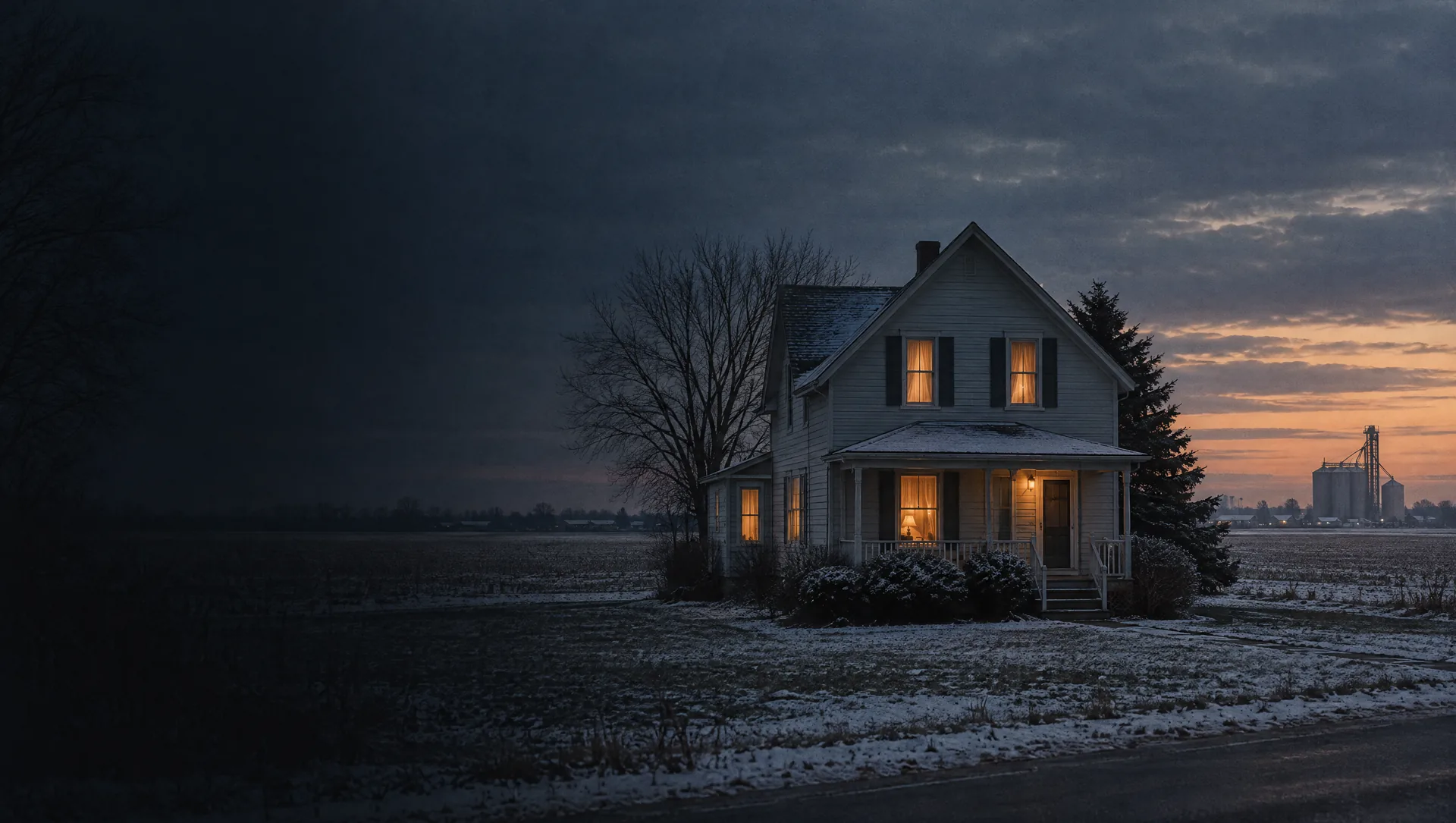
Village of Emmett: Main, Railroad and Mechanic streets
Inside the village limits, about 1.5 square miles in the township's southeast corner, the 2020 Census counts 94 homes along Main Street, Railroad Street and the short streets around them. The American Community Survey puts the village's owner median value at $145,800 on 87 owner homes, with a margin of $83,561, and a typical build year of 1938, so treat the value as a rough guide. The village levy lifts the 2025 homestead rate to 35.16 mills, and the fire station is at 3109 Main Street.
Township hall and Dunnigan Road
Around the township hall and park at 11100 Dunnigan Road, just outside the village, the 2020 Census counts 46 homes on Dunnigan, Brandon, Burt, Rynn and Keegan roads and the south end of Kinney Road, 38 of them in Yale Public Schools and 8 in Capac. The block group around it, Block Group 2 of tract 6581, has an owner median of $229,800 (margin $34,825) and a typical build year of 1990. OpenStreetMap maps the South Branch Pine River and the Emmett Drain here.
Bryce, Burt and Reliford roads
South of Bryce Road, the 2020 Census counts 121 homes on Bryce, Burt, Reliford and Rynn roads, all in Capac Community Schools. They sit in Block Group 2 of tract 6581, where the American Community Survey shows an owner median of $229,800 (margin $34,825) and a typical build year of 1990. OpenStreetMap maps the Emmett, Hyde and Sullivan drains through this area, which matters if a parcel carries a county drain assessment.
Atwell, Harrison, Miller and Connors roads
In the southwest corner, the 2020 Census counts 137 homes on Atwell, Harrison, Miller, Connors, Breen, Burt and Rynn roads, the most counted in any one part of the township, and every one is in Capac Community Schools. Block Group 2 of tract 6581 covers the area, with an owner median of $229,800 (margin $34,825) and a typical build year of 1990. Township zoning sets a 5 acre minimum for new lots in its agricultural and residential districts, so ask what a parcel's zoning allows before planning a split.
Breen, Quain and Shamrock Drive
On the township's western side, around Breen Road, Quain Road and Shamrock Drive, the 2020 Census counts 122 homes, all in Capac Community Schools. The area falls in Block Group 1 of tract 6581, where the American Community Survey shows an owner median of $245,200 (margin $27,512) and a typical build year of 1987. OpenStreetMap maps the Quakenbush Drain here, so the county drain assessment is worth a question on any parcel.
Bryce, Foley and Sheridan roads
Around the middle of the township, on Bryce, Foley and Sheridan roads, the line between Capac and Yale crosses the area: the 2020 Census counts 87 homes, 48 in Capac and 39 in Yale. It is also Block Group 1, with an owner median of $245,200 and a typical build year of 1987. OpenStreetMap maps the Foley, Gleason, Quakenbush and Sullivan drains here, and a parcel's tax rate depends on which side of the district line it sits.
Emmett, Imlay City and Brennan roads
In the east, along Emmett Road, Imlay City Road, Brennan Road, Kennedy Road and Vinson Lane, the 2020 Census counts 126 homes, all in Yale Public Schools and all outside the village, so the 2025 homestead rate is 28.16 mills. The area is in Block Group 1 of tract 6581, with an owner median of $245,200 and a typical build year of 1987. OpenStreetMap maps the Hyde, Foley, Gleason, Quakenbush and Sullivan drains across it.
Siegel, Sullivan and Welch roads
In the far northwest, on Siegel, Sullivan and Welch roads, the 2020 Census counts 96 homes, 93 of them in Capac Community Schools and 3 in Yale. The Block Group 1 figures apply, an owner median of $245,200 (margin $27,512) and a typical build year of 1987. OpenStreetMap maps the Sheehy Drain nearby. With the district line this close, the assessor can confirm the taxing unit for a single parcel.
Connell, Craven, Gleason and Metcalf roads
Along the township's northern edge, on Connell, Craven, Gleason and Metcalf roads, the 2020 Census counts 80 homes, 61 in Yale Public Schools and 19 in Capac. It sits in Block Group 1, with an owner median of $245,200 and a typical build year of 1987. OpenStreetMap maps the Sheehy and White drains here, and Metcalf Road marks the township's north line.
Old Emmett, Cork, Rose and Carney roads
In the northeast, on Emmett Road, Old Emmett Road, Cork Road, Rose Road and Carney Road, the 2020 Census counts 85 homes, all in Yale Public Schools. The township's 2013 master plan places Mill Creek in this corner, in Section 1. OpenStreetMap maps the Gleason and White drains, and a BP station and Countryside Party Store near the north edge. Block Group 1 figures apply, an owner median of $245,200 and a typical build year of 1987.